


9,8 km | 14,9 km-effort
Ancizan : découvrez les meilleures randonnées : 2 a pied et 82 marche. Tous ces circuits, parcours, itinéraires et activités en plein air sont disponibles dans nos applications SityTrail pour smartphones et tablettes.
Marche


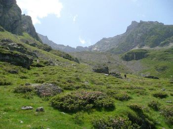
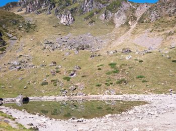
• Départ depuis la Hourquette d'Ancizan. On suit un chemin à flanc de montagne pour aboutir au lac d'Arou. Zone pastora...
Marche

Marche
Marche
Marche
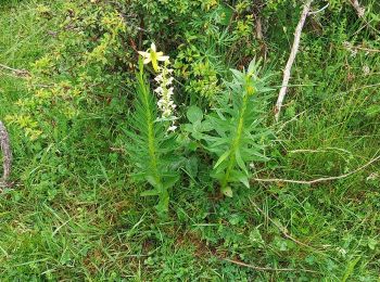
• Super randonnée facile avec des jolies paysage
Marche
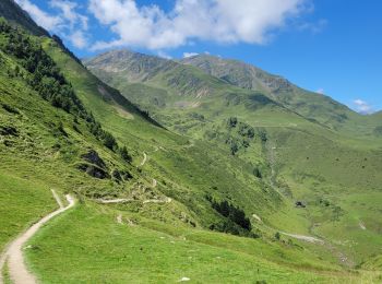
• superbes panoramas au-dessus d'ancizan et de Paiolle
Marche
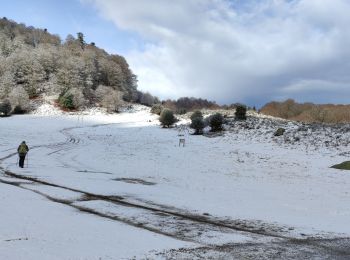
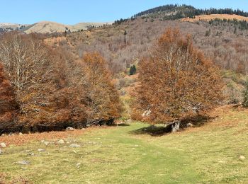
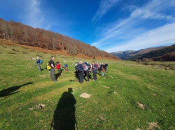
• Très belle promenade ne demande pas d’effort particulier. Paysage automnale magnifique. Excellente journée.
Marche
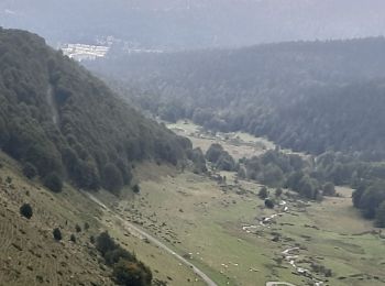
• Départ depuis la fin de la piste qui mène au village abandonné d'Artigussy à Payolle. On longe par l'Est la vallée de...
Marche
• .'
Marche
Marche

Marche
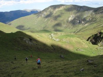
• Randonnée en montagne
Marche
• Facile, belles vues.
Marche
Marche
• Promenade familiale
Marche
•

Marche
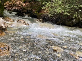
• Petite balade avec montée et descente raide avec passage sous les tuyaux d'amenée d'eau pour la vallée.
Marche
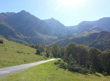
• depuis payolle G4
Marche
Marche
20 randonnées affichées sur 84
Application GPS de randonnée GRATUITE
 SityTrail
IGN / Instituts géographiques
SityTrail World
Le monde est à vous