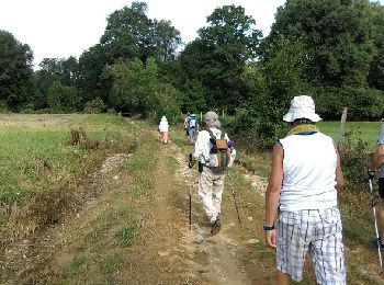
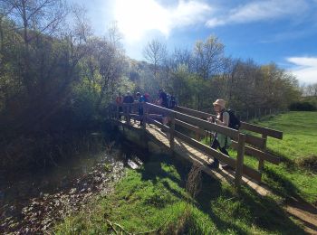
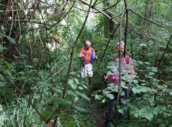
Lhez, Hautes-Pyrénées, A pied : Les meilleures randonnées, itinéraires, parcours, balades et promenades

1 commentaires

Lhez : découvrez les meilleures randonnées : 8 marche. Tous ces circuits, parcours, itinéraires et activités en plein air sont disponibles dans nos applications SityTrail pour smartphones et tablettes.


Les meilleurs parcours (8)

Randonnée Marche Lhez - Lhez-Les ponts G4 fait en 2021 - Photo
Marche 11.157
Km

Marche

Difficile
Lhez, Occitanie, Hautes-Pyrénées, France
11,2 km | 14,4 km-effort
3h 22min
244 m
244 m
Oui
mitch1952

• Parking Mairie de Lhez. Départ rando prendre direction nord.

Randonnée Marche Lhez - lhezlespontsfaif - Photo
Marche 11.609
Km

Marche

Très facile
Lhez, Occitanie, Hautes-Pyrénées, France
11,6 km | 14,9 km-effort
3h 15min
248 m
247 m
Oui
LouisROGER

• Passez sous les trois ponts du Larré Darré et après le point 5 visitez la forets inondable en haut du lac une petite ...

Randonnée Marche Lhez - lhezlespontsfaif - Photo
Marche 11.608
Km

Marche

Très facile
(1)
Lhez, Occitanie, Hautes-Pyrénées, France
11,6 km | 14,9 km-effort
3h 15min
248 m
248 m
Oui
LouisROGER

• Passez sous les trois ponts du Larré Darré et après le point 5 visitez la forets inondable en haut du lac une petite ...
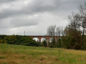
Randonnée Marche Lhez - lhezfaiapied - Photo
Marche 9.517
Km

Marche

Très facile
Lhez, Occitanie, Hautes-Pyrénées, France
9,5 km | 12,4 km-effort
2h 59min
218 m
218 m
Oui
LouisROGER

Randonnée Marche Lhez - LHEZG42021 - Photo
Marche 7.887
Km

Marche

Moyen
Lhez, Occitanie, Hautes-Pyrénées, France
7,9 km | 9,7 km-effort
5h 22min
139 m
140 m
Oui
LouisROGER

Randonnée Marche Lhez - lhez les ponts G4 2022  - Photo
Marche 11.932
Km

Marche

Difficile
Lhez, Occitanie, Hautes-Pyrénées, France
11,9 km | 15,5 km-effort
5h 17min
268 m
266 m
Oui
LouisROGER

Randonnée Marche Lhez - Trace G4 Lhez Guy - Photo
Marche 13.735
Km

Marche

Lhez, Occitanie, Hautes-Pyrénées, France
13,7 km | 17,6 km-effort
4h 0min
289 m
290 m
Oui
mitch1952

Randonnée Marche Lhez - lhez 3ponts  - Photo
Marche 9.964
Km

Marche

Très facile
Lhez, Occitanie, Hautes-Pyrénées, France
10 km | 13,2 km-effort
2h 49min
245 m
245 m
Oui
LouisROGER

8 randonnées affichées sur 8

Application GPS de randonnée GRATUITE

Logo SityTrail SityTrail

IGN / Instituts géographiques

Télécharger SityTrail sur l'App Store Télécharger SityTrail sur Google Play

Logo SityTrail SityTrail World

Le monde est à vous

Télécharger SityTrail sur l'App Store Télécharger SityTrail sur Google Play Télécharger SityTrail sur Huawei AppGallery

Activités

Fermer
Mes abonnements