


9,4 km | 15,8 km-effort
Conques : découvrez les meilleures randonnées : 3 a pied et 27 marche. Tous ces circuits, parcours, itinéraires et activités en plein air sont disponibles dans nos applications SityTrail pour smartphones et tablettes.
A pied


• Randonnée créée par office de tourisme Conques Marcillac.
Marche
A pied

Marche
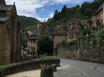
• Conques Aveyron
Marche
• Cette étape de 20 kms démarre par un début difficile avec la sortie du village de Conques(très connu par les pèlerins...
Marche

Marche
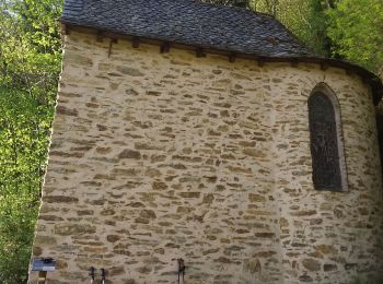
• Village classé un des plus beaux villages de France. Ça monte et ça descend. Une architecture interessante, de beaux ...
Marche
• Village classé un des plus beaux villages de France. Ça monte et ça descend. Une architecture interessante, de beaux ...

Marche
• par le GR65
Marche
• Xxxxx
Marche
• Randonnée du GR65 via le chemin des crêtes
Marche
• balade autour de Conques par la vallée de l'ouche
Marche
Marche
Marche
Marche
Marche
Marche
Marche
Marche
20 randonnées affichées sur 30
Application GPS de randonnée GRATUITE
 SityTrail
IGN / Instituts géographiques
SityTrail World
Le monde est à vous