


12,5 km | 21 km-effort
Peyreleau : découvrez les meilleures randonnées : 3 a pied, 34 marche, 2 marche nordique et 1 course à pied. Tous ces circuits, parcours, itinéraires et activités en plein air sont disponibles dans nos applications SityTrail pour smartphones et tablettes.
Marche


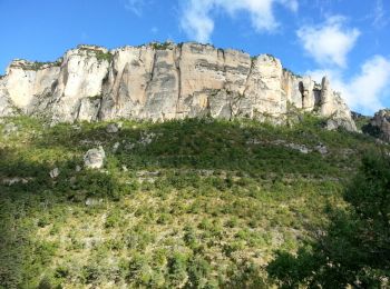
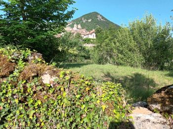
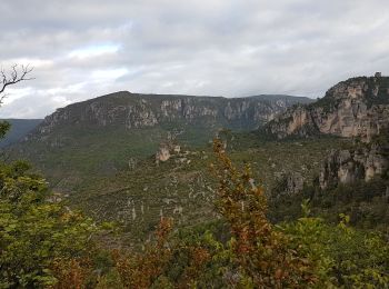
• Peyreleau - Corniches du Causse Noir - 12.5km 650m 6h40 (1h) - 2016 09 06
Marche
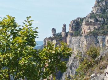
• Peyreleau - Gorges de la Jonte - 9km 295m 3h25 (40mn) - 2014 09 09

Marche
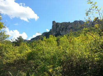
• Petit itinéraire rarement décrit dans les topos guides habituels et pourtant si intéressant! L'observation des vautou...
Marche
• Décor exceptionnel magnifique y revenir
Marche nordique
Marche
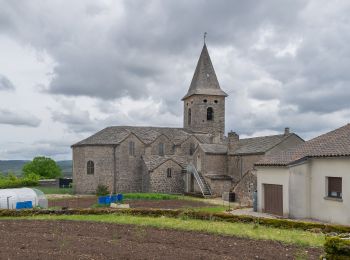
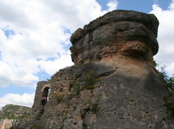
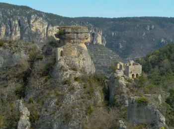
• Peyreleau (PK de la mairie)-corniche du causse noir-champignon préhistorique-point sublime-ermitage St Michel-la Jonte.
A pied
Marche
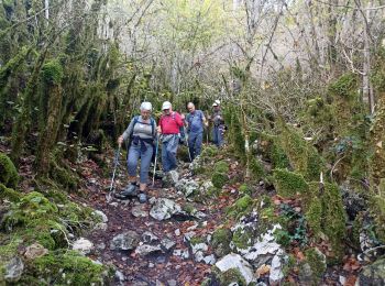
• Beau parcours en boucle au départ de Peyreleau avec vue sur les Gorges de la Honte et la vallée du Tarn. Belle persp...
Marche
Marche
Marche
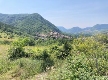
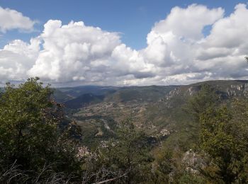
• La Jonte naît à 1 350 mètres d'altitude, dans le massif de l'Aigoual. Son parcours débute dans une vallée boisée des ...
Marche
• vraiment jolie cette rando au départ de Peyrelau le long des gorges avec le chemin qui surplombe. 14KM D+ 640M
Marche

A pied
• Dans Le Rozier, prendre direction Peyreleau, traverser le pont sur la Jonte et 100 mètres après, prendre à gauche une...
Marche
• Gorges de la jonte
Marche
• Robert Barto
Marche
• hameau des Rouquets Ermitage Saint Michel Champignon Préhistorique et cirque de Madasse
Marche
• hameau des Rouquets Ermitage Saint Michel Champignon Préhistorique et cirque de Madasse
Marche
• Petit itinéraire rarement décrit dans les topos guides habituels et pourtant si intéressant! L'observation des vautou...
Marche
• 25/05/2015
20 randonnées affichées sur 40
Application GPS de randonnée GRATUITE
 SityTrail
IGN / Instituts géographiques
SityTrail World
Le monde est à vous