


7,1 km | 9,5 km-effort
Laguiole : découvrez les meilleures randonnées : 4 a pied, 99 marche et 1 marche nordique. Tous ces circuits, parcours, itinéraires et activités en plein air sont disponibles dans nos applications SityTrail pour smartphones et tablettes.

Marche


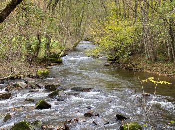
• Passage impossible du ruisseau au Km 6 en période humide possibilité de descendre par les pistes au km 4.5 pour rejoi...
Marche
Marche
• facile interessant
Marche
Marche
Marche
• Belle randonnée
Marche
• Randonnée sympathique au départ de laguiole environ 13km facile à travers les montagnes accessible au VTT petite vari...
A pied
Marche
Marche
• très belle randonnée passant à Solages Boneval, chateau le Bousquet
Marche

Marche
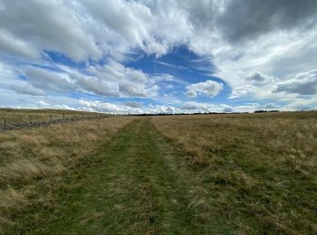
• Départ du petit rond point au centre de Laguiole. Après une montée sur une petite route avant la traversée de la forê...
Marche
Marche
• facile
Marche
Marche
Marche
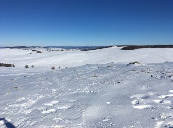
• Piste raquettes
Marche
Marche
Marche
20 randonnées affichées sur 104
Application GPS de randonnée GRATUITE
 SityTrail
IGN / Instituts géographiques
SityTrail World
Le monde est à vous