


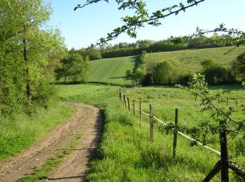
11,5 km | 14 km-effort
Lanta : découvrez les meilleures randonnées : 3 marche et 3 course à pied. Tous ces circuits, parcours, itinéraires et activités en plein air sont disponibles dans nos applications SityTrail pour smartphones et tablettes.
Marche


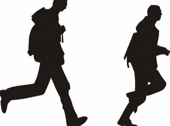
Course à pied
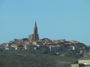
• Un parcours facile mais pentu et qui bénéficie de vues remarquables!
Course à pied
• Plutôt conseillé runner, car en intégralité sur le goudron, ce circuit est cependant très varié et met en valeur notr...

Marche
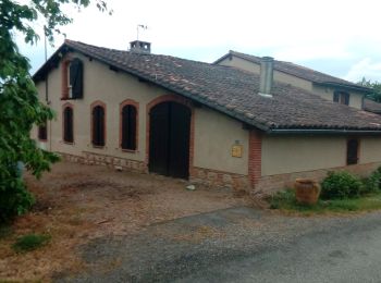
• La balade commence au niveau de l'église de St Sernin en continuant la route vers les maisons du petit village de St ...
Course à pied

Marche
6 randonnées affichées sur 6
Application GPS de randonnée GRATUITE
 SityTrail
IGN / Instituts géographiques
SityTrail World
Le monde est à vous