


7,5 km | 8,3 km-effort
Paulhac : découvrez les meilleures randonnées : 3 marche et 1 course à pied. Tous ces circuits, parcours, itinéraires et activités en plein air sont disponibles dans nos applications SityTrail pour smartphones et tablettes.
Marche


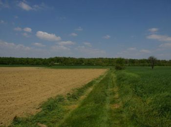
• Une belle forêt non loin de Toulouse, les enfants aiment !

Course à pied
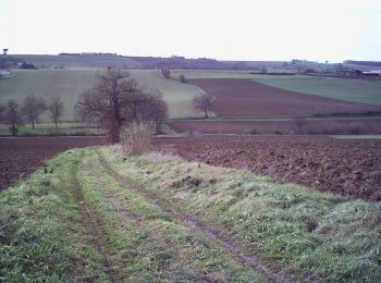
• Le départ de Paulhac est une belle descente vers la forêt de Buzet. Puis on arrive à la Magdelaine évidemment situé a...
Marche
• Le départ de Paulhac est une belle descente vers la forêt de Buzet. Puis on arrive à la Magdelaine évidemment situé a...

Marche
4 randonnées affichées sur 4
Application GPS de randonnée GRATUITE
 SityTrail
IGN / Instituts géographiques
SityTrail World
Le monde est à vous