


9,8 km | 19,5 km-effort
Sode : découvrez les meilleures randonnées : 9 marche. Tous ces circuits, parcours, itinéraires et activités en plein air sont disponibles dans nos applications SityTrail pour smartphones et tablettes.
Marche


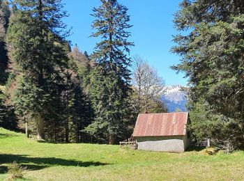
• la montée dans la forêt de la Cigalère entre le Pas de Bourgs et le refuge forestier est rude.
Marche
Marche

Marche
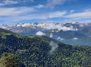
• Belle journée
Marche
• départ du belvédère de Sode - long circuit en boucle en boucle via l crête frontalière
Marche
• départ du belvédère de Sode - long circuit en boucle en boucle via l crête frontalière
Marche
Marche
Marche
9 randonnées affichées sur 9
Application GPS de randonnée GRATUITE
 SityTrail
IGN / Instituts géographiques
SityTrail World
Le monde est à vous