


10,8 km | 15 km-effort
Vissec : découvrez les meilleures randonnées : 1 a pied et 17 marche. Tous ces circuits, parcours, itinéraires et activités en plein air sont disponibles dans nos applications SityTrail pour smartphones et tablettes.
Marche


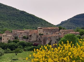
• départ Vissec
Marche
Marche
Marche
• randonnée
Marche
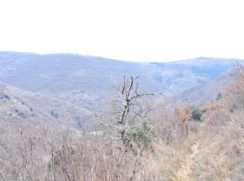
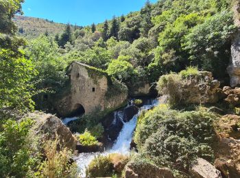
• Partant de l'aire d'accueil de Vissec (vers 9h00), le chemin évite la route pour rejoindre le chemin de Navacelles, l...
Marche
• descente un peu raide, pas très stable au départ du retour
Marche

Marche
• c'est un aller-retour
Marche
• Circuit
Marche
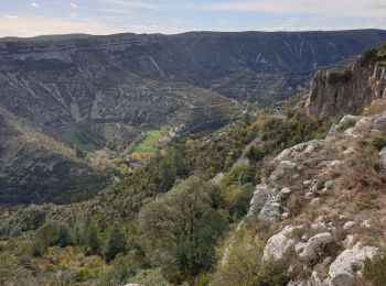
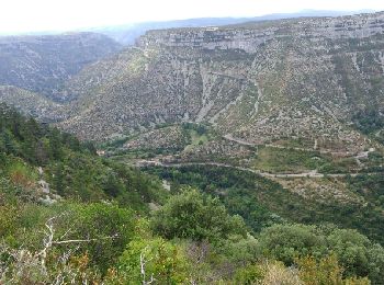
• Cette randonnée est difficile en raison de sa longueur, plus de 22 km, et de la remontée du cirque de Navacelles pour...

A pied
Marche
Marche
Marche
Marche
Marche
Marche
18 randonnées affichées sur 18
Application GPS de randonnée GRATUITE
 SityTrail
IGN / Instituts géographiques
SityTrail World
Le monde est à vous