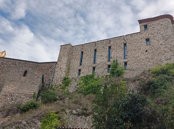
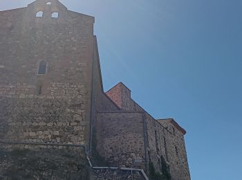
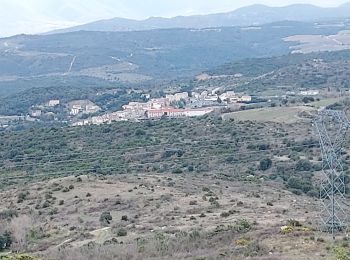
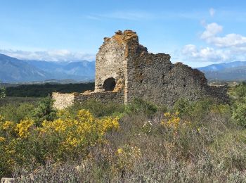
Bélesta, Pyrénées-Orientales, A pied : Les meilleures randonnées, itinéraires, parcours, balades et promenades

3 commentaires

Bélesta : découvrez les meilleures randonnées : 29 marche. Tous ces circuits, parcours, itinéraires et activités en plein air sont disponibles dans nos applications SityTrail pour smartphones et tablettes.


Les meilleurs parcours (29)

Randonnée Marche Bélesta - Boucle du Pic Aubeill - Photo
Marche 7.956
Km

Marche

Facile
(1)
Bélesta, Occitanie, Pyrénées-Orientales, France
8 km | 10,9 km-effort
2h 24min
225 m
218 m
Oui
bfrogneux

• Rando 1 - Les PO à pied

Randonnée Marche Bélesta - tour du pic aubeill  - Photo
Marche 8.722
Km
GUIDE

Marche

Moyen
Bélesta, Occitanie, Pyrénées-Orientales, France
8,7 km | 12 km-effort
3h 45min
247 m
246 m
Oui
stef789

Randonnée Marche Bélesta - belesta bousillé par une fermeture du massif - Photo
Marche 4.67
Km
GUIDE

Marche

Moyen
Bélesta, Occitanie, Pyrénées-Orientales, France
4,7 km | 6,3 km-effort
1h 23min
128 m
115 m
Oui
stef789

Randonnée Marche Bélesta - 20200907 tour depuis Bélesta - Photo
Marche 15.511
Km

Marche

Facile
Bélesta, Occitanie, Pyrénées-Orientales, France
15,5 km | 21 km-effort
4h 3min
412 m
415 m
Oui
ThonyM

• Tres beau parcours sans difficulté. Attention au vent
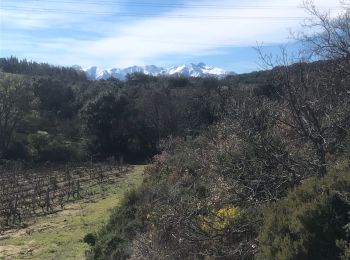
Randonnée Marche Bélesta - Caladroy  - Photo
Marche 15.864
Km

Marche

Moyen
Bélesta, Occitanie, Pyrénées-Orientales, France
15,9 km | 22 km-effort
4h 20min
433 m
431 m
Oui
ThonyM

• Un parcours facile et ludique. Peut-être à éviter en plein été
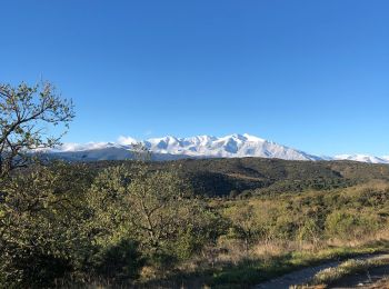
Randonnée Marche Bélesta - Belesta  - Photo
Marche 48.343
Km

Marche

Moyen
Bélesta, Occitanie, Pyrénées-Orientales, France
48 km | 0 m-effort
6h 42min
0 m
0 m
Non
ThonyM

• Randonnée sans difficulté et avec des vues magnifiques: Canigou, Bugarach...
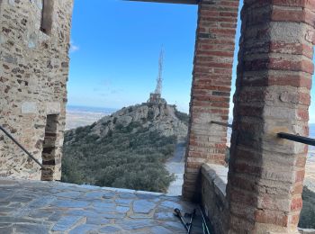
Randonnée Marche Bélesta - Força Réal - Photo
Marche 8.274
Km

Marche

Difficile
Bélesta, Occitanie, Pyrénées-Orientales, France
8,3 km | 12,3 km-effort
2h 27min
301 m
299 m
Oui
ombrabella

• Boucle du col de la bataille a Força réal
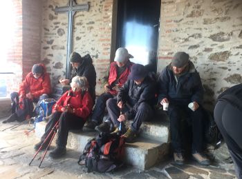
Randonnée Marche Bélesta - Força Réal - Photo
Marche 8.48
Km

Marche

Très facile
(1)
Bélesta, Occitanie, Pyrénées-Orientales, France
8,5 km | 12,5 km-effort
2h 23min
300 m
299 m
Oui
robertperello

• À partir du col de la bataille

Randonnée Marche Bélesta - Belesta pic Aubeill 11_03_2023 - Photo
Marche 16.966
Km

Marche

Moyen
Bélesta, Occitanie, Pyrénées-Orientales, France
17 km | 23 km-effort
5h 10min
487 m
489 m
Oui
jcmartin

Randonnée Marche Bélesta - Bêlesta / lepicd’Aubeil - Photo
Marche 12.426
Km

Marche

Très difficile
Bélesta, Occitanie, Pyrénées-Orientales, France
12,4 km | 16,3 km-effort
3h 20min
293 m
292 m
Oui
robertperello

• Étape au casot Nageleau. /. Eglise St Barthélémy de Jonqerolles
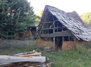
Randonnée Marche Bélesta - belesta pic aubeil 15 km et 350 denivelle - Photo
Marche 13.897
Km

Marche

Facile
(1)
Bélesta, Occitanie, Pyrénées-Orientales, France
13,9 km | 18,6 km-effort
5h 30min
352 m
356 m
Oui
Erius

• départ belesta parking des campings cars. Pic aubeil 15 km 350 denivelle + et -

Randonnée Marche Bélesta - Belesta, les bornes frontières  - Photo
Marche 8.753
Km

Marche

Moyen
Bélesta, Occitanie, Pyrénées-Orientales, France
8,8 km | 12,1 km-effort
4h 20min
249 m
262 m
Oui
Santblasi

• suivre les panneaux indicateurs, traces jaunes. Départ parking du bas. Puits à glace, bornes frontières.

Randonnée Marche Bélesta - Caladroy belesta - Photo
Marche 11.171
Km

Marche

Facile
Bélesta, Occitanie, Pyrénées-Orientales, France
11,2 km | 15,6 km-effort
3h 8min
331 m
333 m
Oui
ombrabella

• Boucle

Randonnée Marche Bélesta - Belesta, pic Aubeil. - Photo
Marche 9.528
Km

Marche

Facile
Bélesta, Occitanie, Pyrénées-Orientales, France
9,5 km | 13,1 km-effort
3h 30min
266 m
263 m
Oui
Santblasi

• départ parking du bas, suivre panneaux et tracé jaune. Point de vue à 360 degrés.
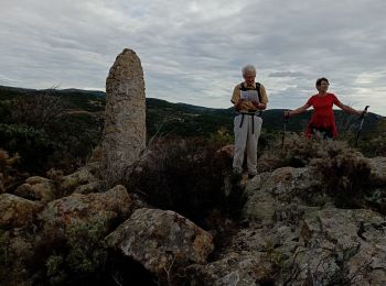
Randonnée Marche Bélesta - belesta - Photo
Marche 10.008
Km

Marche

Difficile
Bélesta, Occitanie, Pyrénées-Orientales, France
10 km | 13,4 km-effort
4h 19min
258 m
256 m
Oui
michcoq

Randonnée Marche Bélesta - ca'adroy ef - Photo
Marche 13.063
Km

Marche

Difficile
Bélesta, Occitanie, Pyrénées-Orientales, France
13,1 km | 18,2 km-effort
5h 2min
384 m
387 m
Oui
patio

• i /zc

Randonnée Marche Bélesta - RP66 BELESTA - Ravin de l'Orteill  - Dolmen  - piste DFCI F135 - chapelle Saint Barthélémy - pic Aubeill - Photo
Marche 9.2
Km

Marche

Moyen
Bélesta, Occitanie, Pyrénées-Orientales, France
9,2 km | 12,7 km-effort
2h 3min
262 m
263 m
Oui
jeff66

• RP66 BELESTA - parking à proximité ponts et RD38 - Ravin de l'Orteill - BELESTA - église - Ruelles - cave Coop - Dolm...

Randonnée Marche Bélesta - caladroy - Photo
Marche 16.763
Km

Marche

Très facile
Bélesta, Occitanie, Pyrénées-Orientales, France
16,8 km | 23 km-effort
5h 58min
439 m
435 m
Oui
Fildesir

• comité

Randonnée Marche Bélesta - belesta - Photo
Marche 8.838
Km

Marche

Moyen
Bélesta, Occitanie, Pyrénées-Orientales, France
8,8 km | 11,9 km-effort
3h 24min
231 m
233 m
Oui
FS4537

Randonnée Marche Bélesta - Bélesta court - Photo
Marche 6.979
Km

Marche

Moyen
Bélesta, Occitanie, Pyrénées-Orientales, France
7 km | 9,2 km-effort
2h 5min
169 m
169 m
Oui
jl.david

20 randonnées affichées sur 29

Application GPS de randonnée GRATUITE

Logo SityTrail SityTrail

IGN / Instituts géographiques

Télécharger SityTrail sur l'App Store Télécharger SityTrail sur Google Play

Logo SityTrail SityTrail World

Le monde est à vous

Télécharger SityTrail sur l'App Store Télécharger SityTrail sur Google Play Télécharger SityTrail sur Huawei AppGallery

Activités

Fermer
Mes abonnements