


7,2 km | 9,3 km-effort
Collioure : découvrez les meilleures randonnées : 12 a pied, 150 marche, 3 marche nordique, 4 course à pied et 1 trail. Tous ces circuits, parcours, itinéraires et activités en plein air sont disponibles dans nos applications SityTrail pour smartphones et tablettes.
Marche


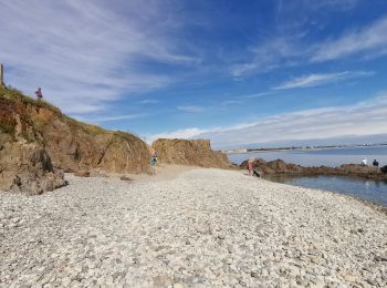
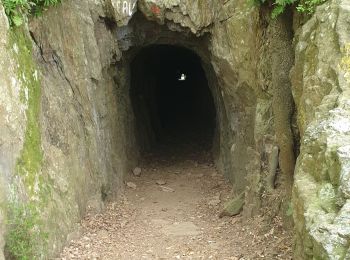
• Randonnée sur le sentier du littoral assez facile.
Marche
• Randonnée sur le sentier du littoral assez facile.
Marche
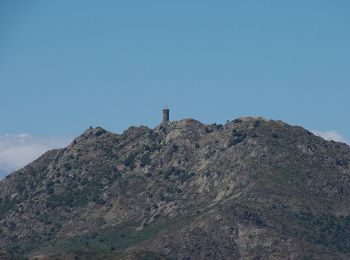
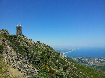
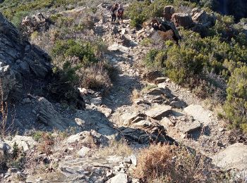
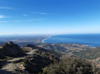
• 66 COLLIOURE - col de la serre - batterie Taillefer - tour de la Madeloc - batterie des 300 - GR10 - cols des gascons...
Marche
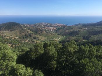
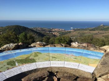
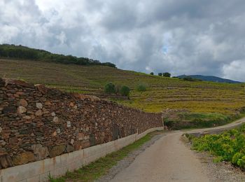
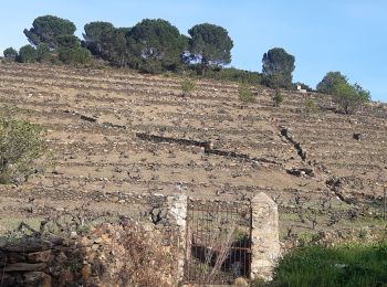
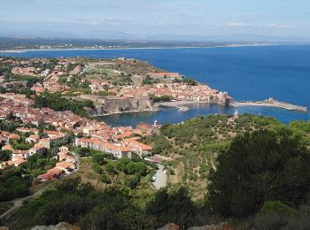
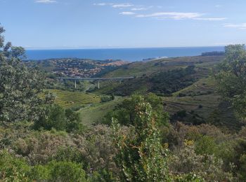
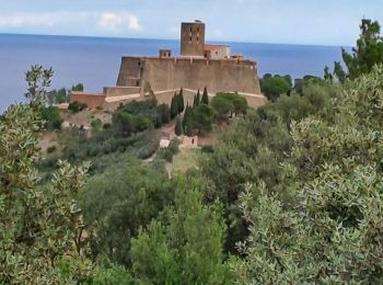
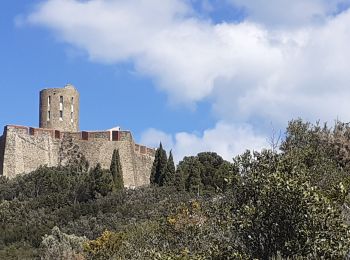
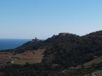
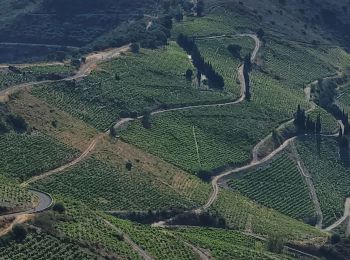
• COLLIOURE 66 - vignoble - panorama sur collioure le fort ST ELME - Ermitage ND de Consolation - terrasses et châtaign...
Marche
• attention.parfois des petits sentiers peu ou pas ... visibles
Marche
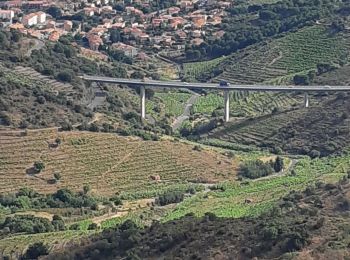
• attention le GPS va vous indiquer un emplacement sur le pont de la grand route or le départ est en dessous... allez à...
A pied
• Site web: http://balade.roussillon.free.fr/Randonnees_Alberes.htm#massane
Marche
• Collioure - boucle via Notre-Dame de Consolation et Fort St Elme - 13.2km 380m 3h25 (40mn) - 2018 09 14
Marche
Marche nordique
• marché ou. escaladé
Marche
• Depuis l' ermitage de ND de Consolation, direction col de la Serra puis col de Mollo. Monter au puig de Les Daines et...
Marche
• belle boucle autour de collioure entre vignoble, ermitage, forts et superbes panoramas au dessus du col de mollo.

Marche
A pied
• Petite balade autour de Collioure
Marche
• Au départ de Collioure, col de la Serra, col de la Tallafero, col des Gascons, GR10, col de Vallauria.
Marche
• Départ des batteries de Collioure
Marche
Marche
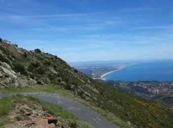
• Très beau circuit effectué le 22 juin 2021, avec des vues époustouflantes sur toute la côte, au nord jusqu'à Narbonne...
Marche
• jolie boucle sans difficulté avec 750m de dénivelé.
Marche
• randonnée effectuée le 20/5/21 en partant du Mas de la Serra quelques places de stationnement pour les voitures (6/7)...
20 randonnées affichées sur 169
Application GPS de randonnée GRATUITE
 SityTrail
IGN / Instituts géographiques
SityTrail World
Le monde est à vous