


10,3 km | 12,5 km-effort
Agde : découvrez les meilleures randonnées : 2 a pied, 46 marche, 7 marche nordique, 5 course à pied et 2 trail. Tous ces circuits, parcours, itinéraires et activités en plein air sont disponibles dans nos applications SityTrail pour smartphones et tablettes.
Marche


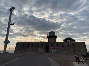
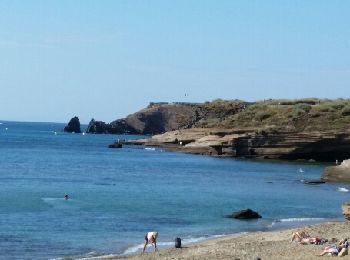
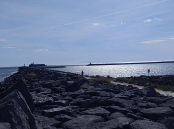
• Très belle randonnée découverte avec ascension du volcan du Mont St-Loup jusqu'à son sommet (D+ 163 m ... pfff). Vue ...

Marche
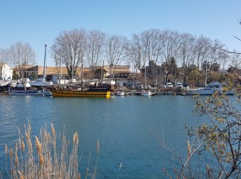
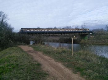
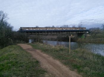
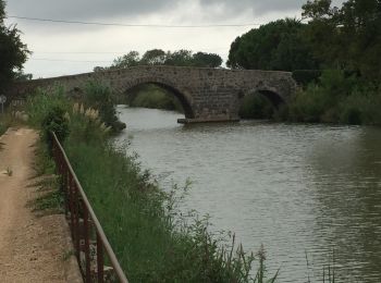
• Ballade le long du Canal du Midi et de ses écluses
Marche nordique
• Il est de belles, de très belles journées d'hiver, oubliées par le vent, avec un soleil radieux et un air dont la dou...
Marche
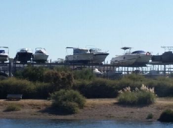
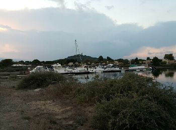
• Parcours sympa au départ du camping naturiste du Cap d'Agde. Permet de longer la réserve du Bagnas et de faire un tou...
Marche
• Parcours sympa au départ du camping naturiste du Cap d'Agde. Permet de longer la réserve du Bagnas et de faire un tou...
Marche
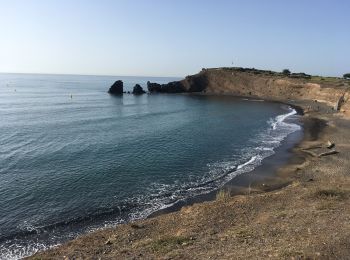
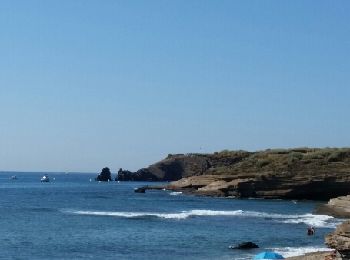
• Les différents aspects du Cap: beau circuit
Marche
• De l’hôtel vers la Roquille , la Grande Conque, le monument aux morts retour Hôtel
Marche
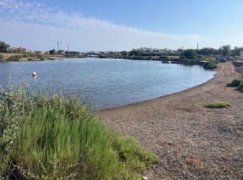
• Etang du Bagnas,Pointe de l'Onglous,canal du Midi et son chemin de halage, Etang de Thau, belles vues sur Sète.
Marche
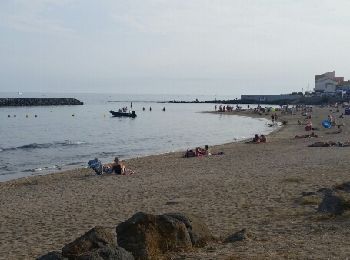
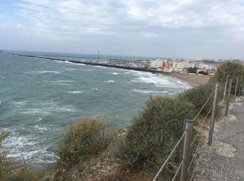
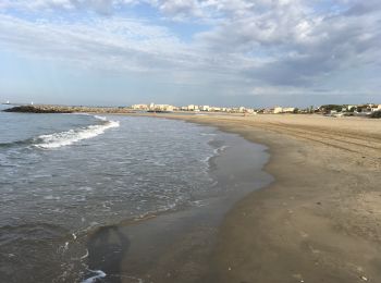
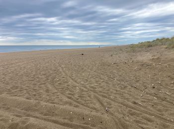
• Agréable balade par les falaises du Cap et les plages de Richelieu et de Rochelongue
Marche
• Très beau parcours par les quais piétonniers, le golf du Cap et superbe vue sur le Bassin de Thau. Le retour par de b...
Marche
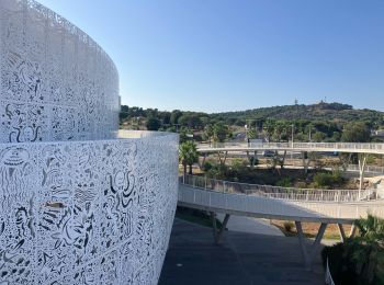
• Agréable parcours par les falaises, la zone technique, les quais piétonniers, le parc aquatique, le nouveau complexe...
Marche
• Etang du Bagnas,Pointe de l'Onglous,canal du Midi et son chemin de halage, Etang de Thau, belles vues sur Sète.
Trail
Marche
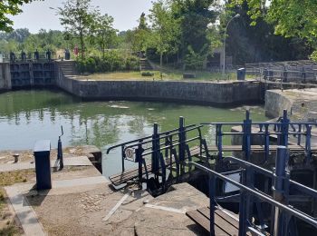
• très belle balade avec visite de l'écluse à bassin rond
Marche
• jolie promenade dans le cap d'agde
Marche
Marche
• De Rochelongue vers Grau d’AGDE
Marche
• ballade
Course à pied
Course à pied
20 randonnées affichées sur 61
Application GPS de randonnée GRATUITE
 SityTrail
IGN / Instituts géographiques
SityTrail World
Le monde est à vous