


9,3 km | 12,9 km-effort
Cabrières : découvrez les meilleures randonnées : 3 a pied, 66 marche et 2 trail. Tous ces circuits, parcours, itinéraires et activités en plein air sont disponibles dans nos applications SityTrail pour smartphones et tablettes.
A pied


• Site web: http://crpal.free.fr/vailhan/parcours/patrimoine/sentierdutemple.pdf
Marche
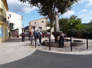
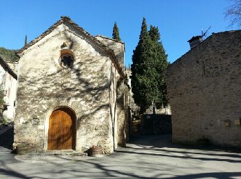
• Départ de Cabrières

Marche
Marche
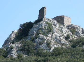
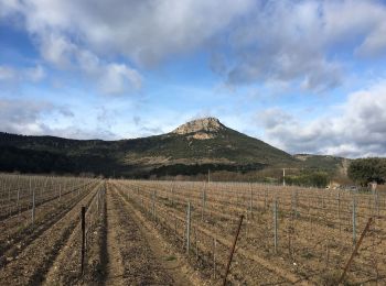
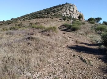
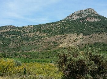
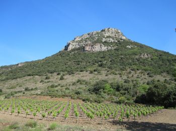
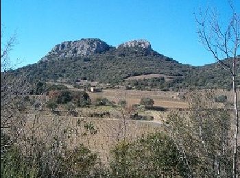
• Pic du Vissou
Marche
Marche
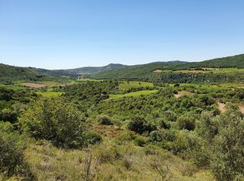
• Petite promenade ombragée sur presque toute sa longueur, idéal pour l'été. De plus un hameau magnifique: Les Crozes.
Marche
Marche
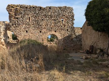
• Cabrieres-Circuit Medielval-6,5km-190m
Marche
Marche
Marche
Marche
Marche
Marche
• Belle boucle
Marche
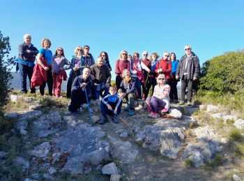
• 14/02 2024 groupe marche FC Trés largement inspiré de Visiorando
Marche
• La rando en vidéo : https://youtu.be/GLRUKZ_wrfI
Marche
• 30/11/2023 groupe marche FC Pentes prononcées, sentiers difficiles à la descente du Vissou et du Vissounet
Marche
• Super
Marche
• La rando en vidéo : https://youtu.be/_lehWf6KgYM En repartant de l'église, on descend vers une exploitation d'olivie...
Marche
20 randonnées affichées sur 71
Application GPS de randonnée GRATUITE
 SityTrail
IGN / Instituts géographiques
SityTrail World
Le monde est à vous