


16,4 km | 22 km-effort
La Caunette : découvrez les meilleures randonnées : 24 marche. Tous ces circuits, parcours, itinéraires et activités en plein air sont disponibles dans nos applications SityTrail pour smartphones et tablettes.
Marche


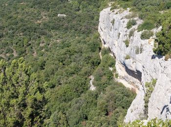
• Variante de la randonnée proposée. Peu ombragée. De belles vues
Marche
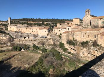
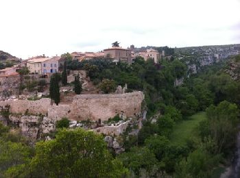
• Balade á Minerves

Marche
Marche
Marche
Marche
Marche
•

Marche
Marche
• Départ randonnée : Village de La Caunette (Hérault 34) Belle randonnée de 16.5Km, 450m de dénivelé cumulé, belles fal...
Marche
• Départ randonnée : La Caunette, à coté de Notre Dame de la Cesse (hérault) Nous traverserons la Cesse et nous nous di...
Marche
Marche
Marche
Marche
Marche
Marche
Marche
Marche
Marche
Marche
20 randonnées affichées sur 24
Application GPS de randonnée GRATUITE
 SityTrail
IGN / Instituts géographiques
SityTrail World
Le monde est à vous