


13,5 km | 20 km-effort
Combes : découvrez les meilleures randonnées : 1 a pied et 10 marche. Tous ces circuits, parcours, itinéraires et activités en plein air sont disponibles dans nos applications SityTrail pour smartphones et tablettes.
Marche


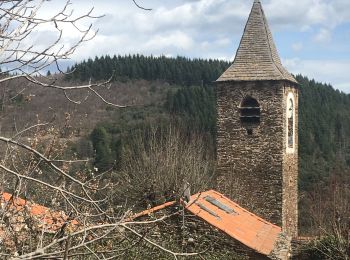
• Boucle au départ du hameau du Fraïsse (Villecelle au-dessus de Lamalou-les-Bains) en passant par Combes. Beaux chemin...
Marche
Marche
• au dessus de combes
Marche

Marche
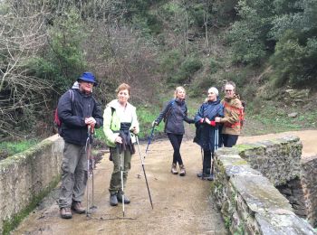
• 5h jolie balade
Marche

A pied
Marche
Marche
Marche
• tronçon 3 première étape du chemin entre la Croix des Baussels et le Poujol-sur-Orb (village-étape) par le Camin Fer...
Marche
11 randonnées affichées sur 11
Application GPS de randonnée GRATUITE
 SityTrail
IGN / Instituts géographiques
SityTrail World
Le monde est à vous