


18,1 km | 23 km-effort
Espezel : découvrez les meilleures randonnées : 6 marche et 1 marche nordique. Tous ces circuits, parcours, itinéraires et activités en plein air sont disponibles dans nos applications SityTrail pour smartphones et tablettes.
Marche


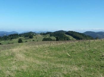
• Étape 3 Rando de 17 km et 200 m de dénivelé. Départ du plateau par les champs d'herbe et suivant la période de pommes...
Marche

Marche
• très belle
Marche
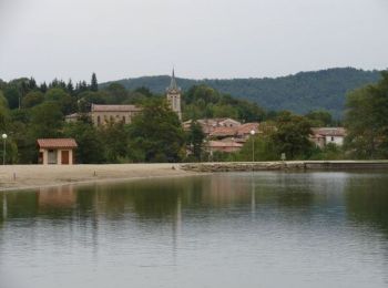
• Espézel - Comus
Marche
Marche

Marche nordique
7 randonnées affichées sur 7
Application GPS de randonnée GRATUITE
 SityTrail
IGN / Instituts géographiques
SityTrail World
Le monde est à vous