


30 km | 39 km-effort
Sauzet : découvrez les meilleures randonnées : 4 marche. Tous ces circuits, parcours, itinéraires et activités en plein air sont disponibles dans nos applications SityTrail pour smartphones et tablettes.
Marche


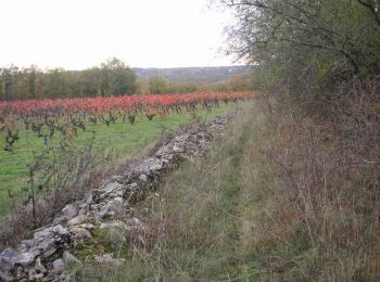
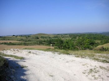
• Départ parking de la mairie de Sauzet. Prendre la 4ème rue à gauche en direction d'Albas D37. Très belle randonnée qu...
Marche
• Départ parking de la mairie de Sauzet. Prendre la 4ème rue à gauche en direction d'Albas D37. Très belle randonnée qu...

Marche
• Départ parking de la mairie de Sauzet. Prendre la 4ème rue à gauche en direction d'Albas D37. Très belle randonnée qu...
Marche
• Départ parking de la mairie de Sauzet. Prendre la 4ème rue à gauche en direction d'Albas D37. Très belle randonnée qu...
4 randonnées affichées sur 4
Application GPS de randonnée GRATUITE
 SityTrail
IGN / Instituts géographiques
SityTrail World
Le monde est à vous