


4,5 km | 6,6 km-effort
Lachapelle-Auzac : découvrez les meilleures randonnées : 4 marche et 1 course à pied. Tous ces circuits, parcours, itinéraires et activités en plein air sont disponibles dans nos applications SityTrail pour smartphones et tablettes.
Marche


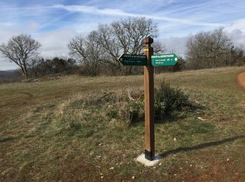
• Depuis le stade de La Chapelle Auzac(panneau en bois avec pictogramme de randonnée à l'entrée d'un chemin qui monte),...

Course à pied
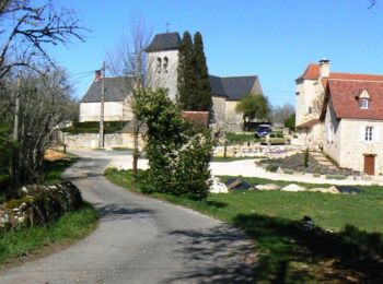
• Départ du stade du Blagour. Bon circuit.
Marche
• Départ du stade du Blagour. Bon circuit.
Marche

Marche
5 randonnées affichées sur 5
Application GPS de randonnée GRATUITE
 SityTrail
IGN / Instituts géographiques
SityTrail World
Le monde est à vous