


15,5 km | 26 km-effort
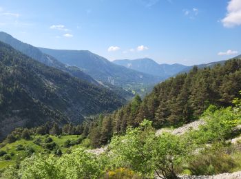
Thorame-Basse : découvrez les meilleures randonnées : 2 a pied, 26 marche et 1 course à pied. Tous ces circuits, parcours, itinéraires et activités en plein air sont disponibles dans nos applications SityTrail pour smartphones et tablettes.
Marche


• Départ rallongé car l?Estelle était haute et que le guet était submergé. Éviter également les parcs de brebis avec le...

Marche
Marche
•
Marche
Marche
• pic de mal-ubac par la valette, départ piste après thorame-basse
Marche
Course à pied

Marche
• 24/11/2023 Rando au départ de Château Garnier pour aller à la cabane du cheval blanc. Montée sur 6 km en pente régul...
Marche
• La fin sur le GR horible. GR très mal tracé en pente très raide en éboulis.
Marche
• A la découverte de l issole

A pied
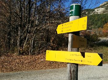
• Villars Heyssier
Marche
• trop de route.
Marche
• départ église château garnier, montée sur piste pendant 7km, jusque cabane du cheval blanc, puis dans pierrier sur 5 ...
Marche
• La Valette-Congerman
Marche
Marche
Marche
Marche
Marche
Marche
20 randonnées affichées sur 29
Application GPS de randonnée GRATUITE
 SityTrail
IGN / Instituts géographiques
SityTrail World
Le monde est à vous