


13,3 km | 22 km-effort
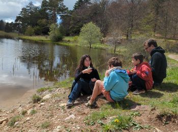
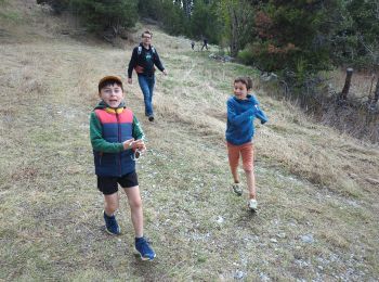
Esparron-la-Bâtie : découvrez les meilleures randonnées : 1 a pied et 26 marche. Tous ces circuits, parcours, itinéraires et activités en plein air sont disponibles dans nos applications SityTrail pour smartphones et tablettes.
Marche


• Ce circuit vous est proposé par les Hautes Terres de Provence. Après être arrivé à hauteur d’Esparron, poursuivez vot...

Marche

Marche
• De Reynier prendre la piste qui mène à Baudinard, sur environ 5km. Se garer au mieux au plus près de l'embranchement ...
Marche
• Après être arrivé à hauteur d’Esparron, poursuivez votre route sur la piste d’accès au lac. 3 km plus loin, garez-vou...
Marche
Marche
• Départ du hameau de l'Esparron la Batie, commune de Bayons. Remonter dans le village en suivant le balisage rouge et ...
Marche
Marche
Marche
Marche
• Randonnée du 10/07/2015 Le sentier aléatoire passant par le Rocher de Cournaud est inexistant(dommage!), il est préfé...
Marche
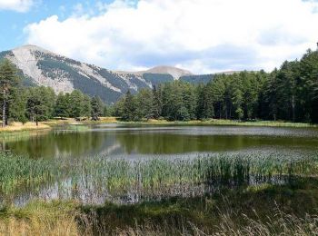
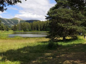
• LE LAC DES MONGE
Marche
Marche
Marche
Marche
Marche
Marche
Marche
Marche
Marche
20 randonnées affichées sur 27
Application GPS de randonnée GRATUITE
 SityTrail
IGN / Instituts géographiques
SityTrail World
Le monde est à vous