


12,1 km | 20 km-effort
Thorame-Haute : découvrez les meilleures randonnées : 1 a pied, 44 marche, 1 marche nordique, 1 course à pied et 1 trail. Tous ces circuits, parcours, itinéraires et activités en plein air sont disponibles dans nos applications SityTrail pour smartphones et tablettes.
Marche


• CABAN DU PASQUIER DIRECTION LACS DU LIGNIN . A R O9 OO .
Marche
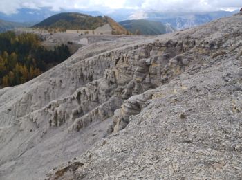
• très beau plateau
Marche
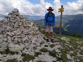
• pic de courradour par Peyresq, depuis arrêt de Peyresq
Marche
Marche
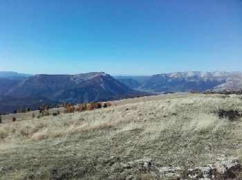
• belle rando monté direct mais vu imprenable

Marche
Marche
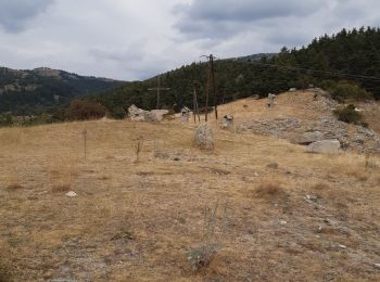
• Forêt de Serpegier et retour par Champlatte Départ de la randonnée par la route de Peyresq.
Marche
• Très joli, ombragé à la montée.
Marche
• Thorame haute a la cabane de cordeil puis hors sentier à la crête avec un splendide panorama
Marche
• Rando
Marche
• superbe randonnée
Marche
• belle randonnée pédestre en altitude
Marche
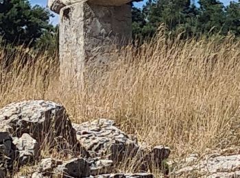
• de la sortie du tunnel du chemin de fer (arrêt de Peyresq) au village de Peyresq
Marche
• Du village de Peyresq à la cabane forestière de Congerman
Marche
• De la cabane forestière de Congerman à la cabane forestière de la Fruchière
Marche

A pied
Marche
Marche
Marche
20 randonnées affichées sur 48
Application GPS de randonnée GRATUITE
 SityTrail
IGN / Instituts géographiques
SityTrail World
Le monde est à vous