


7,5 km | 12 km-effort
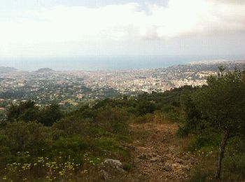
Aspremont : découvrez les meilleures randonnées : 1 a pied, 39 marche, 2 marche nordique, 13 course à pied et 1 trail. Tous ces circuits, parcours, itinéraires et activités en plein air sont disponibles dans nos applications SityTrail pour smartphones et tablettes.
Marche


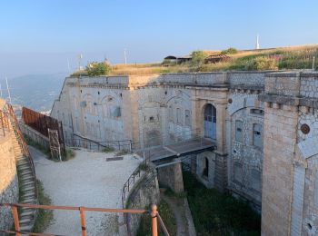
• On se gare et on part d'en face la crèche les «poussins câlins ». Le début est pentu pendant 1,5 km. On monte au fort...
Marche
• On se gare et on part d'en face la crèche les «poussins câlins ». Le début est pentu pendant 1,5 km. On monte au fort...
Marche
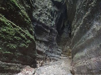
• Se garer après le Crématorium de Nice (Chemin du Roguez, sur la commune de Castagniers) Après un passage dans les ro...

Course à pied
• La boucle contourne les principaux monts dominant le village d'Aspremont (Mont Inarte, Mont Cima, Mont Chauve). Elle ...
Marche
• rando Cima
Marche
• marche
Course à pied
•
Course à pied
Marche
Marche
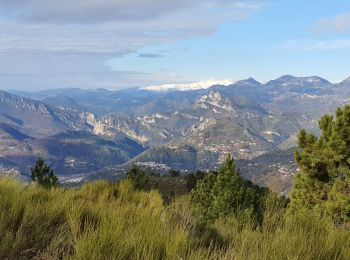
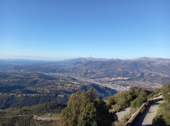
• 01-2023 Petite boucle vue sur la vallée du Var et le Mont Vial
Marche
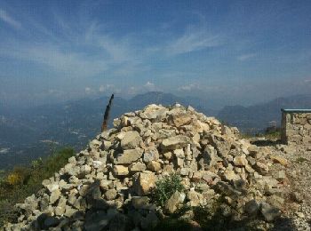
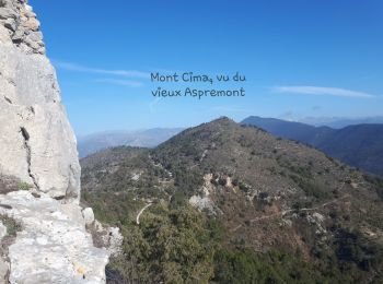
• Succession de 4 petits sommets : Vieux Aspremont et ses ruines, la croix de cuore, le mont Cima et le Mont Inarte.
Marche
Marche
Marche
Marche
Marche
• marche
Marche
Course à pied
• Dommage données un peu faussées l'application a beugué, sinon parcours sympa, des passages techniques très pierreux d...

Course à pied
• Dommage données un peu faussées l'application a beugué, sinon parcours sympa, des passages techniques très pierreux d...

Marche
• Adore mont tirette
20 randonnées affichées sur 53
Application GPS de randonnée GRATUITE
 SityTrail
IGN / Instituts géographiques
SityTrail World
Le monde est à vous