


6,5 km | 10,5 km-effort
Moulinet : découvrez les meilleures randonnées : 6 a pied et 53 marche. Tous ces circuits, parcours, itinéraires et activités en plein air sont disponibles dans nos applications SityTrail pour smartphones et tablettes.
A pied


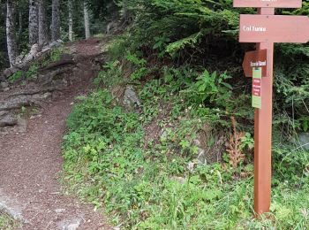
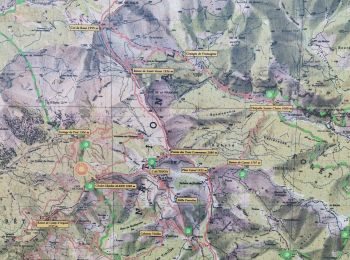
• Randonnée pédestre - Haut pays : Au départ du col de Turini (1 604 mètres) Site web: https://randoxygene.departement...
A pied
• Randonnée pédestre - Haut pays : Au départ du col de Turini (1 604 mètres) Site web: https://randoxygene.departement...
A pied
• Randonnée pédestre - Haut pays : Au départ de l’Authion (1 889 mètres) Site web: https://randoxygene.departement06.f...
Marche
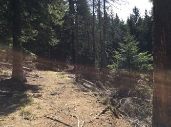
• Une très belle randonnée dans un cadre chargé d’histoire. Plusieurs variantes possibles.
A pied
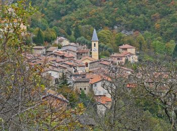
• Randonnée pédestre - Au départ de Moulinet (800 m) Site web: https://randoxygene.departement06.fr/bevera-paillon/bai...
Marche
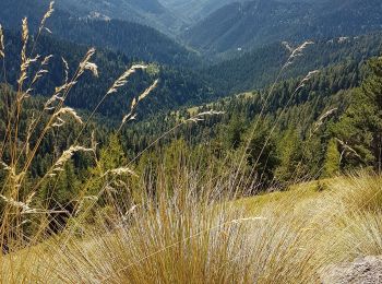
• Randoxygene 2h15, en majorité sous couvert des sapins donc faisable même en été. sur le retour, lespassages délicats...

Marche
• Sur la photo du parcours petite déviation que nous avions effectuée (soit 2,5 km de plus). Pou le départ dans le vil...
Marche
• Majorité de piste
Marche
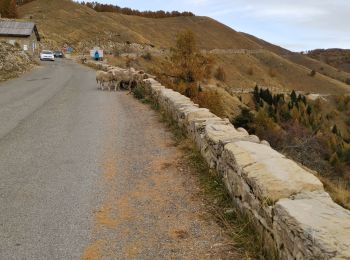
• étape moyenne grand dénivelé négatif sans grand intérêt sauf Sospel
Marche
• Topo de la rando jusqu'à la cime du Diable : https://randoxygene.departement06.fr/haute-vesubie/cime-du-diable-9209.h...
Marche
• La randonnée décrite dans cette page est la suivante : Moulinet (800) => Mangiabo (1821) => Pointe de Ventabren en bo...
Marche

Marche
Marche
Marche
Marche
Marche
Marche

Marche
• Petit raccourcis mais quand même une belle étape pour commencer
Marche
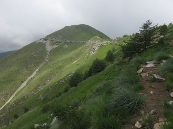
• Parcours en crête à partir des cabanes vieilles sur le circuit de l'Authion. Circuit très agréable, en partie en forê...
20 randonnées affichées sur 59
Application GPS de randonnée GRATUITE
 SityTrail
IGN / Instituts géographiques
SityTrail World
Le monde est à vous