


5,8 km | 10,9 km-effort
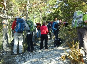
Rosans : découvrez les meilleures randonnées : 26 marche et 1 marche nordique. Tous ces circuits, parcours, itinéraires et activités en plein air sont disponibles dans nos applications SityTrail pour smartphones et tablettes.
Marche nordique


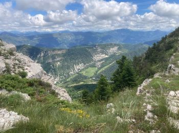
• Difficile dans les deux sens mais vue magnifique au sommet.
Marche
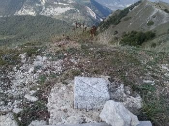
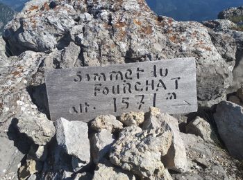
• Un beau sommet au nord de Rosans. L'arête finale est un peu technique et un peu exposé côté gauche. Prudence en cas d...
Marche
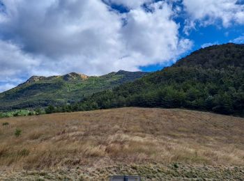
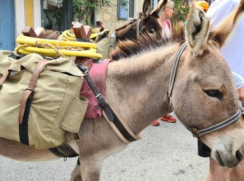
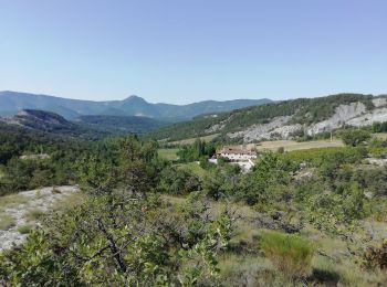
• Randonnée très agréable au départ du hameau de Raton, niché dans les montagnes à quelques kilomètres de Rosans. Dès l...
Marche
• Départ : parking col Fromagère. Prendre le chemin du facteur et après un peu plus d'un km, prendre une route empierr...
Marche
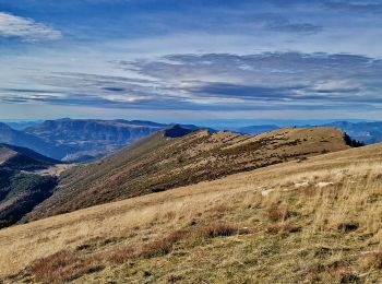
• Vue panoramique superbe ! Attention la longueur n'est que l'allée.
Marche
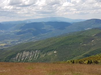
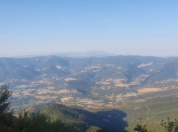
• Panorama 360 ° sur les Alpes , le Dévoluy, les dentelles de montmirail, le Ventoux. Montée agréable à travers la forê...
Marche
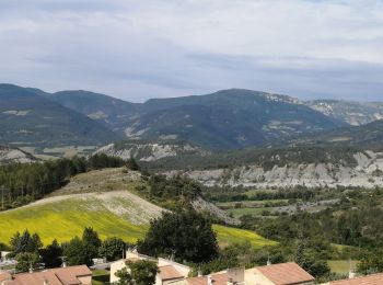
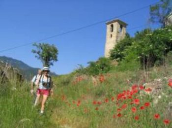
• petit village de Pommerol dans la montagne et panorama exceptionnel sur les monts de la Drôme jusqu'au mont Ventoux a...
Marche
Marche
Marche
• Le tout nouveau Tour des Baronnies du Buëch est un projet initié par la communauté des communes interdépartementale d...
Marche
Marche
Marche

Marche
• Petite ballade qui monte bien à partir de Rosans
Marche
Marche
Marche
Marche
Marche
Marche
20 randonnées affichées sur 27
Application GPS de randonnée GRATUITE
 SityTrail
IGN / Instituts géographiques
SityTrail World
Le monde est à vous