


11 km | 21 km-effort
Aiguilles : découvrez les meilleures randonnées : 1 a pied et 43 marche. Tous ces circuits, parcours, itinéraires et activités en plein air sont disponibles dans nos applications SityTrail pour smartphones et tablettes.
Marche


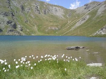
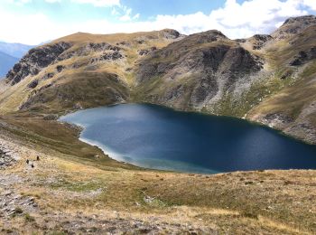
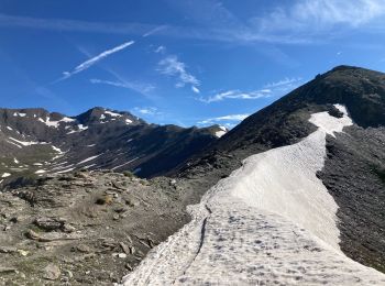
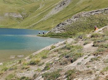
• une belle randonnée au milieu des alpages, empruntant un bon sentier qui vous amènera au lac du Grand laus puis au la...
Marche
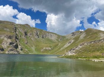
• magnifique
Marche
Marche
Marche
Marche
Marche

Marche
Marche
Marche
Marche

Marche
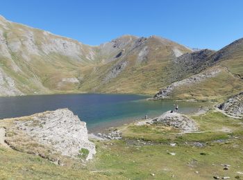
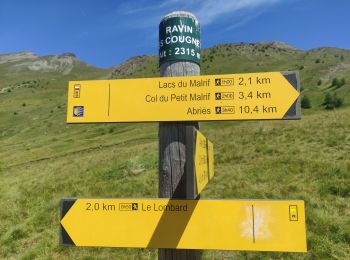
• Départ bergerie des Lombard vers les lacs du MALRIF : - le grand Laus, - le petit Laus - le lac Mézan. - retour pa...
Marche
Marche
• balade dans le torrent. A faire l été
Marche
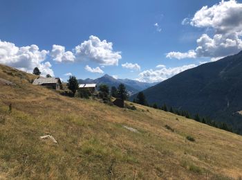
• au départ de la bergerie du Lombard. Col du Malrif puis crête jusqu'au Glaisiat
Marche
Marche
• topo Queyras 21 belles balades piste avec bcp de pierres jusqu'au dernier embranchement mais fin bien meilleure car m...

A pied
• Passage du GR(! au GR5 Château Queyras 9.5km et 350D+ Col du fromage 18km et 1350D+ Le Villard 21km et 1350D+ Ceillac...
Marche
• Queyras
Marche
• j'ai marché très vite temps normal 6h
20 randonnées affichées sur 44
Application GPS de randonnée GRATUITE
 SityTrail
IGN / Instituts géographiques
SityTrail World
Le monde est à vous