


11,6 km | 24 km-effort
La Fare-en-Champsaur : découvrez les meilleures randonnées : 17 marche. Tous ces circuits, parcours, itinéraires et activités en plein air sont disponibles dans nos applications SityTrail pour smartphones et tablettes.
Marche


• Départ vers Saint Bonnet en champsaur, la Fare en champsaur, et notre dame du bois vert. Aller au Pas neuf : passage ...
Marche
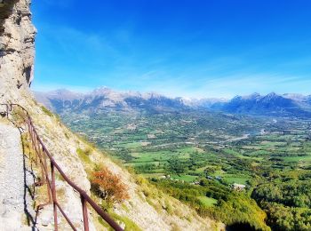
• Sentier en balcon

Marche
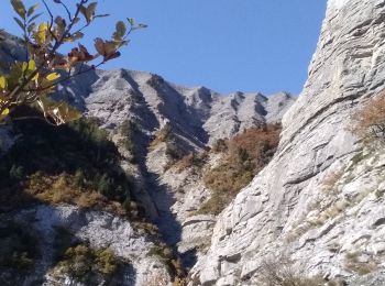
• Randonnée difficile aérienne avec une très belle vue sur les crêtes jusqu’au sommet des chamois et descente dans les ...

Marche
Marche
Marche
• Une randonnée vers la montagne de Moutet au départ de notre dame de bois vert au dessus de la Fare en Champsaur. Très...
Marche
•
Marche
Marche
Marche
Marche
Marche
Marche
Marche
Marche
Marche
Marche
17 randonnées affichées sur 17
Application GPS de randonnée GRATUITE
 SityTrail
IGN / Instituts géographiques
SityTrail World
Le monde est à vous