


16,5 km | 31 km-effort
Saint-Disdier : découvrez les meilleures randonnées : 1 a pied, 41 marche et 1 trail. Tous ces circuits, parcours, itinéraires et activités en plein air sont disponibles dans nos applications SityTrail pour smartphones et tablettes.
Marche


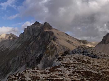
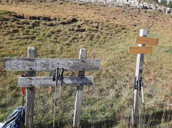
• Très belle randonnée dans ce massif du Dévoluy. Un col, deux vallons visités et de nombreux chamois : parfait pour pa...
Marche
• Très belle rando mais très forte pente pendant 3/4 du parcours. Un passage ou il faut y mettre les mains et glissant ...
Marche
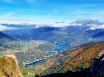
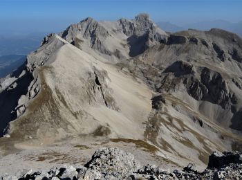
• Longue randonnée. 17 km. Passage aérien en crête. Montée très raide dès le départ.
Marche
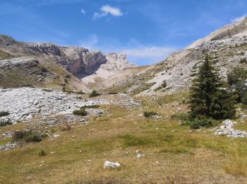
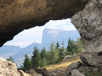
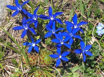
• Randonnée facile, très sauvage (flore incomparable), qui offre un panorama magnifique sur le massif du Dévoluy. La vu...
Marche
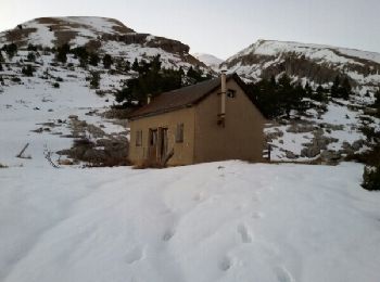
• randonnée hivernale pouvant ce faire en raquettes
Marche
• Randonnée après-midi
Marche
• depart torrent des queyras 1310m
Marche
Marche
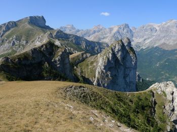
• Longue montée dans le vallon du Mas. La sortie dans la grande casse sous la tête de l'Aupet et difficile. Cheminement...
Marche
Marche

Marche
• rando en boucle

A pied
• Sortie du 12/08/2020 Itinéraire presque entièrement balisé; de la Combe de l'eau à Malmort en passant par le Puy de R...
Marche
• Tete de Lapras par la crete de Sammaroux + Le Nid
Marche
• Le Faraut Reco le 18-08-2019- Recherche du passage sous la crête
Marche
• Tête de l'aupet . Montée par la crête de la Clape descente par le vallon des Narrites
Marche
• Crête des Grépoux et col Drouillet. Montée par le vallon et Narites et descente par celui de Truchière.
Marche
• Tête de l'Aupet montée par la crête de la Clape et retour par le vallon de Truchière
Marche
• Départ de la cote 1306 dans le virage 2,5 km après les Hauts-Gicons. Passer à la cabane de l'Aup puis un peu avant le...
Marche
20 randonnées affichées sur 43
Application GPS de randonnée GRATUITE
 SityTrail
IGN / Instituts géographiques
SityTrail World
Le monde est à vous