


5,6 km | 10,4 km-effort
Rousset : découvrez les meilleures randonnées : 20 marche et 1 course à pied. Tous ces circuits, parcours, itinéraires et activités en plein air sont disponibles dans nos applications SityTrail pour smartphones et tablettes.
Marche


• Temps splendide
Marche
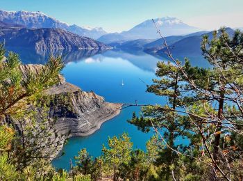
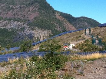
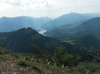
• Jolie rando au départ de la baie des Lionnets sur la commune de Rousset (05), remontée du Torrent du Champeyron et sa...

Marche
• attention par temps de pluie

Marche
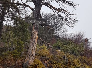
• du col de pré du laus la visite (la montée est rude)les crêtes(beau sentier)clôt morel Vière retour
Marche
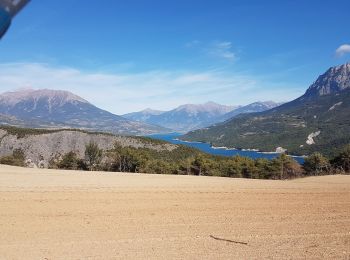
• Petite randonnée assez facile au départ du parking de la baie des Lionnets. Réalisable en 2h30 avec environ 450 mètre...
Marche
• du col de pré du laus la visite (la montée est rude)les crêtes(beau sentier)clôt morel Vière retour
Marche
•
Marche
Marche
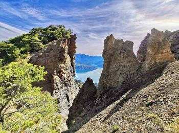
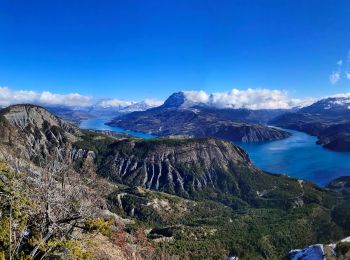
• Boucle depuis le camping La Viste, en passant par Rousset, Viere, sommet de la Viste et retour.
Marche
Course à pied
• Trai de Rousset Serre Ponçon du 7 juin 2015.

Marche
Marche
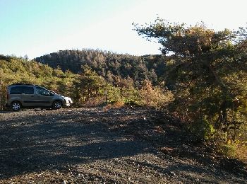
• départ baie lionnets
Marche
Marche
•
Marche
•
Marche
•
Marche
•
Marche
Marche
20 randonnées affichées sur 21
Application GPS de randonnée GRATUITE
 SityTrail
IGN / Instituts géographiques
SityTrail World
Le monde est à vous