


5,9 km | 10,4 km-effort
La Faurie : découvrez les meilleures randonnées : 22 marche et 1 course à pied. Tous ces circuits, parcours, itinéraires et activités en plein air sont disponibles dans nos applications SityTrail pour smartphones et tablettes.
Marche


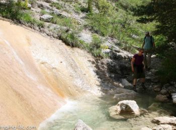
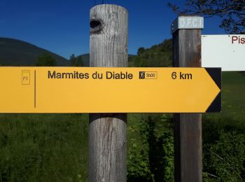
• Randonnée très variée, débutant le long des marmites (où vous pouvez vous baigner), traversant ensuite une forêt avan...
Marche
Marche
Marche
Marche
Marche

Marche
• 9km - 285md+ - 3 premiers km sur route goudronnee puis route forestiere ou sentier - traversee de l'Aiguebelle delica...
Marche
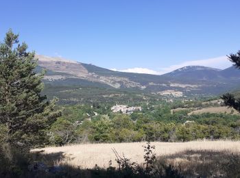
• 200 md+, 2 h , agréable en toute saison et facile
Marche
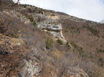
• long mais avec dénivelé doux. à intérêt géologique
Marche
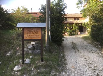
• depart la valette
Marche
Marche
Marche
Marche
Marche
Marche
Marche
Marche
Marche
Marche
20 randonnées affichées sur 23
Application GPS de randonnée GRATUITE
 SityTrail
IGN / Instituts géographiques
SityTrail World
Le monde est à vous