


10,2 km | 15,4 km-effort
Tallard : découvrez les meilleures randonnées : 11 marche. Tous ces circuits, parcours, itinéraires et activités en plein air sont disponibles dans nos applications SityTrail pour smartphones et tablettes.
Marche


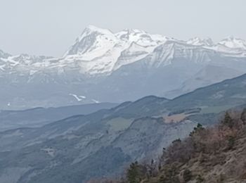
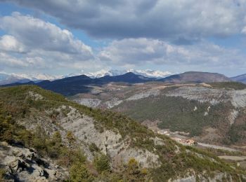
• Peu ombragé. Jolie vue sur les sommets de Gap
Marche
Marche
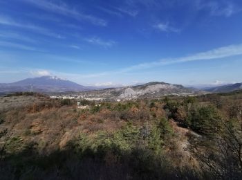
• Belle randonnée avec de très beaux points de vue. Il y a un peu de route près du Blanchet, nous avons pu en éviter un...
Marche
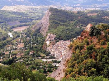
• Vues magnifiques tout au long de cette petite randonnée faisable avec des enfants, à condition de faire attention à c...
Marche
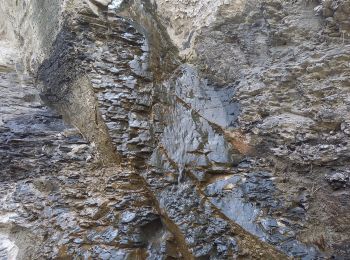
• Très belle boucle dans les collines au dessus de Tallard. Paysage original dans les marnes. Belle variété de milieu. ...

Marche
• Très belle boucle dans les collines au dessus de Tallard. Paysage original dans les marnes. Belle variété de milieu. ...
Marche
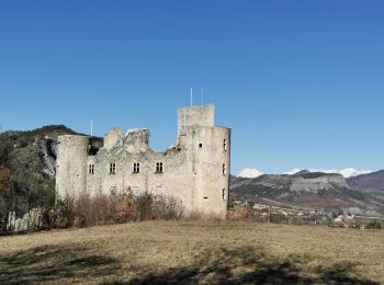
• Randonnée Marche de 16,3 km à découvrir à Provence-Alpes-Côte d'Azur, Hautes-Alpes, Tallard. Cette randonnée est prop...

Marche
• Cool
Marche
• Intérêt : 2/5
Marche
Marche
11 randonnées affichées sur 11
Application GPS de randonnée GRATUITE
 SityTrail
IGN / Instituts géographiques
SityTrail World
Le monde est à vous