


8,6 km | 10,7 km-effort
Rognes : découvrez les meilleures randonnées : 2 a pied, 55 marche, 5 marche nordique et 1 course à pied. Tous ces circuits, parcours, itinéraires et activités en plein air sont disponibles dans nos applications SityTrail pour smartphones et tablettes.

Marche


Marche
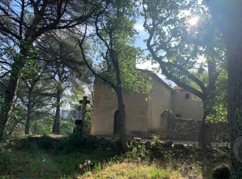
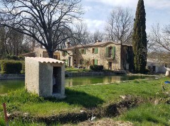
• Stationnement dans Rognes sur un petit parking. 500 m de route pour rejoindre le sentier globalement bien ombragé.On ...
Marche
• Stationnement dans Rognes sur un petit parking. 500 m de route pour rejoindre le sentier globalement bien ombragé.On ...
Marche

A pied
Marche
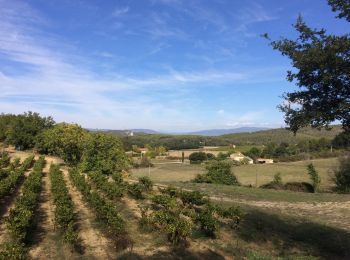
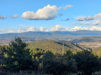
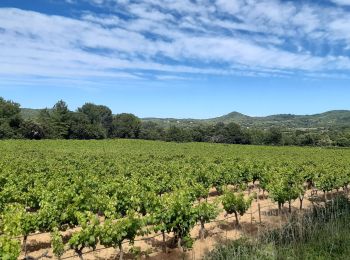
• Traversée forêt, vignobles
Marche

Marche
• marche
Marche
• marche
Marche
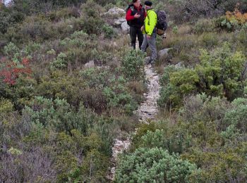
• Belle randonnée en sous bois dans la 1ère partie,; dans la dernière partie traverser le pont sur canal qui mène à C...
Marche nordique
• nordique facile
Marche
• Facile
Marche
A pied
• facile
Marche
• marche
Marche
• Randonnée de 13 km facile mais un peu longue. Avec 2 traversées de route (Puy St Réparade)
Marche
• Tour de décrassage
Marche
• Première vrai balade depuis la location
Marche
Marche
20 randonnées affichées sur 61
Application GPS de randonnée GRATUITE
 SityTrail
IGN / Instituts géographiques
SityTrail World
Le monde est à vous