


7,6 km | 9,6 km-effort
Saint-Zacharie : découvrez les meilleures randonnées : 3 a pied, 101 marche et 3 course à pied. Tous ces circuits, parcours, itinéraires et activités en plein air sont disponibles dans nos applications SityTrail pour smartphones et tablettes.
Marche


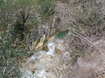
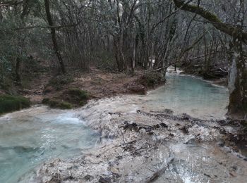
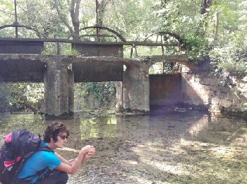
• Très belle randonnée pour admirer la rivière et ses cupules ! Chemin agréable au milieu des arbres avec quelques var...
Marche
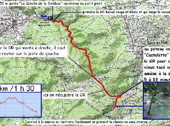
• Attention: Ne pas faire par temps de pluie et si risque d'orage.
Marche
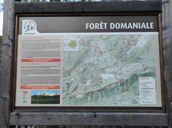
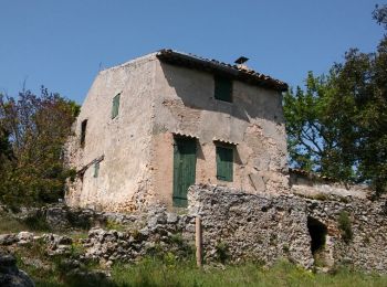
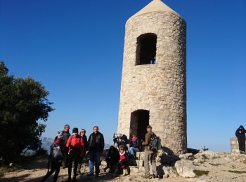
• St Zacharie
Marche
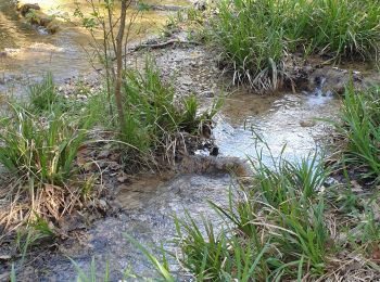
• Source des nayes
Marche
• belle randonnée
Marche
Marche
• forte monteesous olympe

Marche
Marche
• P2 T2 Reco René & Philippe 19/11/14 -Supprimer l'accès à Notre Dame d'Orgnon -
Marche
Marche
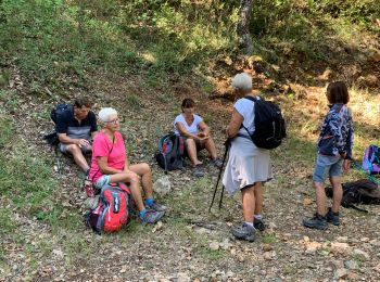
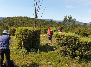
• Randonnée dans les bois de Sainte Baume
Marche
Marche
Marche
Course à pied
• L'Huveaune prend sa source à Nans les Pins et rejoint la mer au niveau du parc Borely à Marseille. Ce parcours sans d...
Course à pied
• En combinant cet itinéraire avec le circuit 8107 on a un bon petit parcours VTT … A vos baskets ou à vos pédales, vou...
Marche
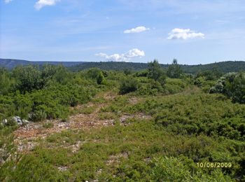
• Belle randonnée pédestre de niveau 3. Vous marcherez sur des pistes DFCI boisées. D’autres informations sur le site d...
Marche
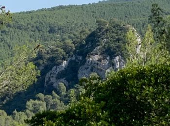
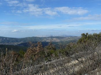
• Pas de difficulté particulière niveau 3. Trois ou quatre passages à gué. Vue panoramique au niveau de l'alti surface ...
Marche
• Vous pourrez vous garer au départ de la randonnée. Vous monterez sur une piste facile en suivant le GR 9. Vous aurez ...
Marche
• rando pied 16,5 km. 720 m
20 randonnées affichées sur 107
Application GPS de randonnée GRATUITE
 SityTrail
IGN / Instituts géographiques
SityTrail World
Le monde est à vous