


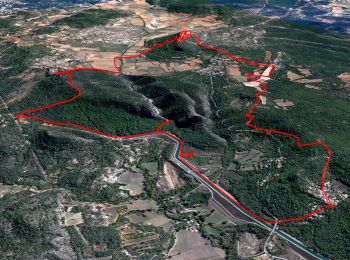
15,4 km | 21 km-effort
Saint-Julien : découvrez les meilleures randonnées : 42 marche. Tous ces circuits, parcours, itinéraires et activités en plein air sont disponibles dans nos applications SityTrail pour smartphones et tablettes.
Marche


Marche
• Le chemin de protection des incendies permet d'accéder en voiture à la barrière de Colletons pour optimiser la boucle...
Marche
Marche
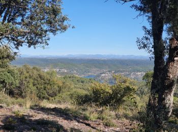
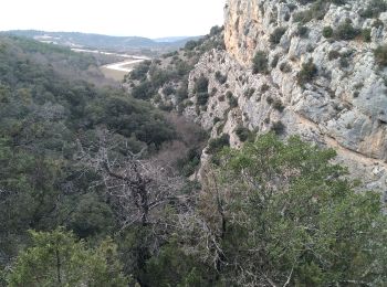
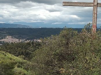
• Très belle vue depuis le drapeau. Assez ranfougne dans les gorges de Malavalasse
Marche
• A Gréoux les bains, prendre la rue des thermes et continué tout droit jusqu'au bout.
Marche
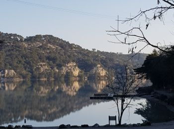
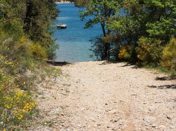
• Très varié, belle vue sur le lac. Départ du sentier à la plage de St Julien pas évident à trouver, et aussi plus haut...
Marche
• Partir des Maurras (non tracé au départ) et prendre le sentier de droite jusqu'au départ de la trace juste avant les ...
Marche
Marche
Marche
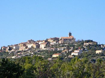
• Le village perché
Marche
• La commune de Saint-Julien est située au nord-ouest du département du Var, sur la rive gauche du Verdon, à la hauteur...

Marche
Marche
• Tracé issu des Godasses Lorguaises
Marche
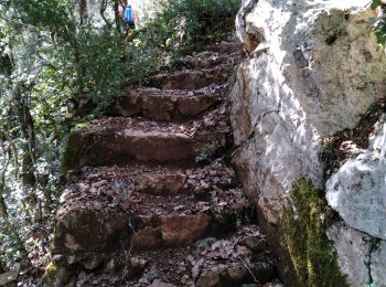
• Rando "aventure totale" avec recherche du meilleur itinéraire (ou moins pire), renfougne dans les ronces et crapahut ...
Marche
• facile
Marche
• normale 350 m dénivelés
Marche
• 🛢
Marche
• Jolie boucle dans les chênes verts en deux parties
Marche
• À côté
Marche
• rando moyenne
20 randonnées affichées sur 42
Application GPS de randonnée GRATUITE
 SityTrail
IGN / Instituts géographiques
SityTrail World
Le monde est à vous