


14,2 km | 21 km-effort
Labaroche : découvrez les meilleures randonnées : 2 a pied, 42 marche, 3 marche nordique et 1 course à pied. Tous ces circuits, parcours, itinéraires et activités en plein air sont disponibles dans nos applications SityTrail pour smartphones et tablettes.
Marche


• Faite le 13/06/2021. Au départ de Labaroche la Chapelle. Parking : Maison des Associations à côté de la mairie. D'apr...

A pied
Marche nordique
Marche
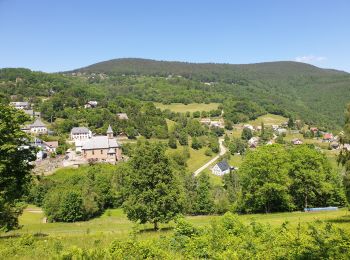
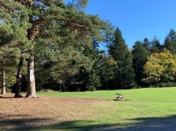
• Labaroche est située sur un plateau, à une altitude moyenne de 750 mètres, entre les vallées de Kaysersberg et de Mun...
Marche
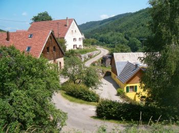
• Labaroche est un village de 2000 habitants, situé en Alsace à 20 km de Colmar. Accès par Ammerschwihr, par Turckheim ...
Marche
• Labaroche est un village de 2000 habitants, situé en Alsace à 20 km de Colmar. Accès par Ammerschwihr, par Turckheim ...
Marche

Marche
• Details de la rando sur TraceGPS.com http://www.tracegps.com/fr/parcours/circuit2101.htm#
Marche
• Details de la rando sur TraceGPS.com http://www.tracegps.com/fr/parcours/circuit2112.htm
Marche
• Details de la rando sur TraceGPS.com http://www.tracegps.com/fr/parcours/circuit2129.htm
Marche
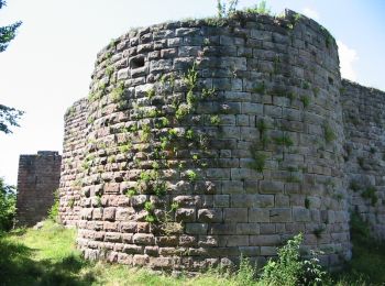
• grand Hohnack - Obschel Boucle 8 Kms Aller 5,3 Kms Retour 2,7 Kms
Marche
Marche
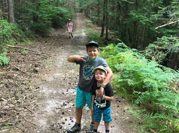
• Temps mis avec 2 enfants de 2 et 3 ans.
Marche
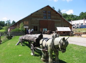
• Circuit Petit et Grand Hohnack à partir du musée des métiers du bois en passant par le gros Gazon et retour par la Tr...
Marche
• Malgré le brouillard agréable rando
Marche
• en foret
Marche
•
Marche
Marche
Marche
20 randonnées affichées sur 48
Application GPS de randonnée GRATUITE
 SityTrail
IGN / Instituts géographiques
SityTrail World
Le monde est à vous