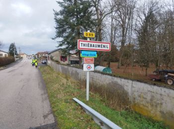
Thiébauménil, Meurthe-et-Moselle, A pied : Les meilleures randonnées, itinéraires, parcours, balades et promenades

Thiébauménil : découvrez les meilleures randonnées : 6 marche. Tous ces circuits, parcours, itinéraires et activités en plein air sont disponibles dans nos applications SityTrail pour smartphones et tablettes.


Les meilleurs parcours (6)
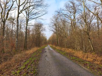
Randonnée Marche Thiébauménil - Audax Thiebaumenil Premiere boucle  - Photo
Marche 25.91
Km

Marche

Très difficile
Thiébauménil, Grand Est, Meurthe-et-Moselle, France
26 km | 29 km-effort
4h 21min
204 m
203 m
Oui
Toyot 8

Randonnée Marche Thiébauménil - AUDAX Thiébauménil  - Photo
Marche 25.957
Km

Marche

Très difficile
Thiébauménil, Grand Est, Meurthe-et-Moselle, France
26 km | 29 km-effort
4h 10min
203 m
202 m
Oui
Toyot 8

Randonnée Marche Thiébauménil - rando mercredi - Photo
Marche 4.66
Km

Marche

Facile
Thiébauménil, Grand Est, Meurthe-et-Moselle, France
4,7 km | 5,5 km-effort
1h 2min
61 m
55 m
Non
troll1

Randonnée Marche Thiébauménil - rando 6 mai 2023 jacques - Photo
Marche 7.921
Km

Marche

Moyen
Thiébauménil, Grand Est, Meurthe-et-Moselle, France
7,9 km | 8,7 km-effort
1h 17min
61 m
50 m
Non
ACPL

Randonnée Marche Thiébauménil - AUDAX THIEBAUMENIL - Photo
Marche 49.669
Km

Marche

Difficile
Thiébauménil, Grand Est, Meurthe-et-Moselle, France
50 km | 56 km-effort
7h 49min
448 m
448 m
Oui
Toyot 8

Randonnée Marche Thiébauménil - Thiebaumenil  - Photo
Marche 25.993
Km

Marche

Très difficile
Thiébauménil, Grand Est, Meurthe-et-Moselle, France
26 km | 29 km-effort
4h 9min
202 m
201 m
Oui
apis54

6 randonnées affichées sur 6

Application GPS de randonnée GRATUITE

Logo SityTrail SityTrail

IGN / Instituts géographiques

Télécharger SityTrail sur l'App Store Télécharger SityTrail sur Google Play

Logo SityTrail SityTrail World

Le monde est à vous

Télécharger SityTrail sur l'App Store Télécharger SityTrail sur Google Play Télécharger SityTrail sur Huawei AppGallery

Activités

Fermer
Mes abonnements