


4,6 km | 6,8 km-effort
Pont-à-Mousson : découvrez les meilleures randonnées : 15 marche et 2 trail. Tous ces circuits, parcours, itinéraires et activités en plein air sont disponibles dans nos applications SityTrail pour smartphones et tablettes.
Marche


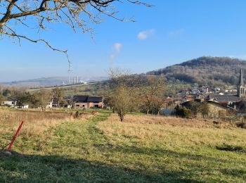
• Longebeau Mousson redescente par route du cimetière bifurcation à gauche et retour par rue Gaston Petit
Marche
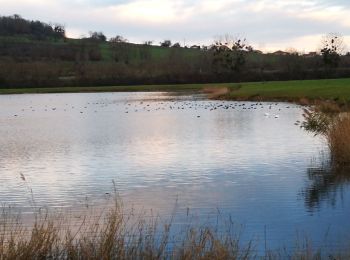
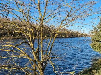
• tour etang
Marche
Marche
Marche
Marche

Marche
• Pagny PAM par bus
Marche
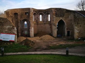
• Départ de la gare de Pont à Mousson, l'Abbaye des Prémontrés, la Fontaine rouge, la butte Mousson (château), Forêt de...
Marche
Marche
Marche
Marche
Marche

Trail
Trail
Marche
Marche
17 randonnées affichées sur 17
Application GPS de randonnée GRATUITE
 SityTrail
IGN / Instituts géographiques
SityTrail World
Le monde est à vous