


8,9 km | 11,2 km-effort
Hoéville : découvrez les meilleures randonnées : 2 a pied, 5 marche et 2 marche nordique. Tous ces circuits, parcours, itinéraires et activités en plein air sont disponibles dans nos applications SityTrail pour smartphones et tablettes.
Marche


Marche nordique
• 2023 03 06 - MND Saulxures - 24 participants - 9h30 à 11h45 Temps couvert et froid mais sec. Quelques grains de neige...
Marche nordique
• 2021 03 25 marche nordique - 10 personnes - 8h55 à 11h20 Beaucoup d'arrêts sur circuit avec vestiges militaires et pa...

Marche
• dénivelé de 300m
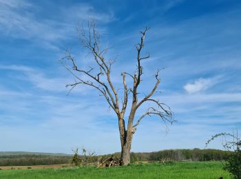
Marche
• Possibilité de pique-niquer au bord de l'étang
Marche
A pied
A pied
Marche
9 randonnées affichées sur 9
Application GPS de randonnée GRATUITE
 SityTrail
IGN / Instituts géographiques
SityTrail World
Le monde est à vous