


13,9 km | 18 km-effort
Hargnies : découvrez les meilleures randonnées : 31 marche et 6 marche nordique. Tous ces circuits, parcours, itinéraires et activités en plein air sont disponibles dans nos applications SityTrail pour smartphones et tablettes.
Marche


• Depuis toujours, cette forêt porte des noms pluriels. Les celtes l’appelaient Ar-Denn ou Ar-Tann qui signifie « les c...

Marche
• Détails de la rando sur TraceGPS.com http://www.tracegps.com/fr/parcours/circuit2491.htm
Marche
Marche
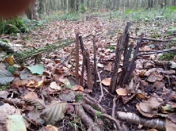
• paddestoelen
Marche
• Partez à la découverte de la forêt domaniale d'Hargnies-Laurier. Située entre 109 m et 366 m d'altitude, cette forêt ...
Marche
• Details de la rando sur TraceGPS.com http://www.tracegps.com/fr/parcours/circuit2504.htm
Marche
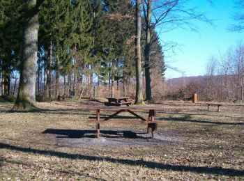
• Hargnies roche fepin

Marche nordique
• Découvrir la forêt de l’Ardenne, Hargnies, ses clairières, pour ensuite enjamber la Hulle et passer en Belgique Cette...
Marche nordique
• Une randonnée agréable et de faible dénivelé dans la forêt du plateau ardennais.
Marche
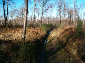
• joli ruisseau
Marche
• TopoGuides FFrandonnées "Les Ardennes à pieds" PR 47
Marche
Marche
Marche
• d
Marche
Marche nordique
Marche
Marche
Marche nordique
Marche
20 randonnées affichées sur 37
Application GPS de randonnée GRATUITE
 SityTrail
IGN / Instituts géographiques
SityTrail World
Le monde est à vous