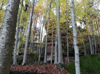
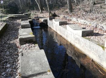
Still, Bas-Rhin, A pied : Les meilleures randonnées, itinéraires, parcours, balades et promenades

3 commentaires

Still : découvrez les meilleures randonnées : 1 a pied, 13 marche, 1 course à pied et 1 trail. Tous ces circuits, parcours, itinéraires et activités en plein air sont disponibles dans nos applications SityTrail pour smartphones et tablettes.


Les meilleurs parcours (16)

Randonnée Marche Still - Still - Photo
Marche 16.798
Km

Marche

Moyen
(1)
Still, Grand Est, Bas-Rhin, France
16,8 km | 22 km-effort
4h 56min
370 m
371 m
Oui
LUTZMarc

• Resto Le saint Florent à Oberhaslach
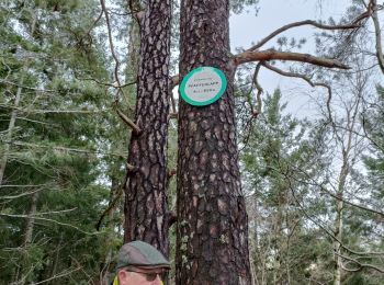
Randonnée Marche Still - oberhaslach - Photo
Marche 7.736
Km

Marche

Moyen
Still, Grand Est, Bas-Rhin, France
7,7 km | 12,8 km-effort
3h 4min
382 m
382 m
Oui
apa

• magnifique

Randonnée Marche Still - ancien. lavoir balbronn - Photo
Marche 12.638
Km

Marche

Facile
Still, Grand Est, Bas-Rhin, France
12,6 km | 18,7 km-effort
4h 13min
451 m
453 m
Oui
apa

• Automne

Randonnée Marche Still - Balbronn  - Photo
Marche 13.187
Km

Marche

Moyen
Still, Grand Est, Bas-Rhin, France
13,2 km | 18,9 km-effort
4h 15min
432 m
432 m
Oui
apa

• Rando falaise

Randonnée Trail Still - Oberhaslach Pfaffenlapp Schneeberg Hohenstein - Photo
Trail 23.245
Km
GUIDE

Trail

Difficile
Still, Grand Est, Bas-Rhin, France
23 km | 34 km-effort
Inconnu
807 m
811 m
Oui
holtzv

Randonnée A pied Still - Géants du Nideck Oberhaslach - Photo
A pied 15.602
Km

A pied

Moyen
Still, Grand Est, Bas-Rhin, France
15,6 km | 24 km-effort
5h 26min
627 m
623 m
Oui
RUHLMANN

Randonnée Marche Still - pfaffenlapp - Photo
Marche 6.988
Km

Marche

Facile
(1)
Still, Grand Est, Bas-Rhin, France
7 km | 11,8 km-effort
2h 13min
359 m
369 m
Oui
yvesconnes

• avec Laurence et Jean-Louis

Randonnée Marche Still - 67  Oberhaslach tour du PFAFENLAPP - Photo
Marche 8.898
Km

Marche

Moyen
(1)
Still, Grand Est, Bas-Rhin, France
8,9 km | 13,7 km-effort
2h 0min
370 m
327 m
Non
LUTZMarc

• Longue montée puis longue descente.

Randonnée Course à pied Still - 2016-10-22 Running Session - Photo
Course à pied 10.525
Km
GUIDE

Course à pied

Moyen
Still, Grand Est, Bas-Rhin, France
10,5 km | 15,8 km-effort
1h 7min
396 m
394 m
Oui
holtzv

Randonnée Marche Still - 2015-04-03 Marche Ringelstein - Photo
Marche 7.537
Km
GUIDE

Marche

Facile
Still, Grand Est, Bas-Rhin, France
7,5 km | 13,1 km-effort
2h 38min
416 m
418 m
Oui
holtzv

Randonnée Marche Still - 2015-01-01 Marche Rocher du Pfaffenlapp dans la Neige - Photo
Marche 6.211
Km
GUIDE

Marche

Facile
Still, Grand Est, Bas-Rhin, France
6,2 km | 11 km-effort
2h 15min
357 m
358 m
Oui
holtzv

Randonnée Marche Still - Oberhaslach Croix de Saverne - Photo
Marche 12.166
Km

Marche

Très facile
Still, Grand Est, Bas-Rhin, France
12,2 km | 16,8 km-effort
3h 6min
351 m
351 m
Oui
oscar1

Randonnée Marche Still - 18.02.21 - Ringelstein - Photo
Marche 8.146
Km

Marche

Très difficile
Still, Grand Est, Bas-Rhin, France
8,1 km | 13,7 km-effort
3h 1min
413 m
413 m
Oui
delm

Randonnée Marche Still - 21.10.2029 - pfaffenlap - Photo
Marche 7.379
Km

Marche

Difficile
Still, Grand Est, Bas-Rhin, France
7,4 km | 12,1 km-effort
2h 29min
355 m
355 m
Oui
delm

Randonnée Marche Still - Col Des Pandours - Photo
Marche 12.335
Km

Marche

Très facile
Still, Grand Est, Bas-Rhin, France
12,3 km | 16,3 km-effort
3h 47min
298 m
297 m
Oui
oscar1

Randonnée Marche Still - 67 Boucle des Pandours - Photo
Marche 24.7
Km

Marche

Moyen
Still, Grand Est, Bas-Rhin, France
25 km | 37 km-effort
6h 9min
909 m
897 m
Oui
LUTZMarc

16 randonnées affichées sur 16

Application GPS de randonnée GRATUITE

Logo SityTrail SityTrail

IGN / Instituts géographiques

Télécharger SityTrail sur l'App Store Télécharger SityTrail sur Google Play

Logo SityTrail SityTrail World

Le monde est à vous

Télécharger SityTrail sur l'App Store Télécharger SityTrail sur Google Play Télécharger SityTrail sur Huawei AppGallery

Activités

Fermer
Mes abonnements