


36 km | 58 km-effort
Seythenex : découvrez les meilleures randonnées : 2 a pied, 40 marche, 1 marche nordique et 1 trail. Tous ces circuits, parcours, itinéraires et activités en plein air sont disponibles dans nos applications SityTrail pour smartphones et tablettes.
Marche


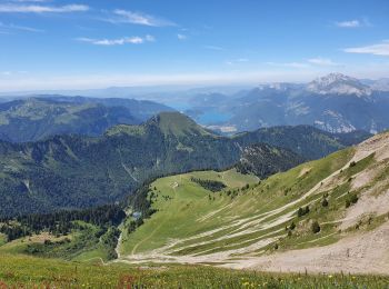
• depart station de seythenex. pas de l'Ours. chalet de Drison. Pointe de Chaurionde. Col d'Orgeval. retour station. un...
Marche
Marche
• refuge de l'aulp
Marche

Marche
• 2012-01-28
Marche
• D'Albertville à Thônes 2/4 - La Dent de Cons. L'étape 2 de notre périple, un départ depuis le camping du hameau "Les ...

Marche
• chalet d'en haut

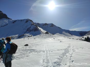
Marche nordique
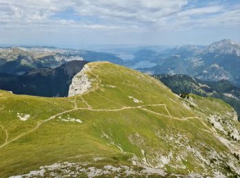
• pas de l ours
Marche
• A faire par temps sec
Marche
• rando pointe de la Sambuy 04/09/2022 Loïc + Guillaume + Alexandre
Marche
• Tour de la pointe de vélin par le Pas de l'Ours
Marche
• Pointe d’Arcalod
Marche
• circuit
Marche
Marche
• velan
Marche
Marche
• corde nécessaire
Marche
• Circuit - Quelques passages délicats
Marche
• Circuit
Marche
20 randonnées affichées sur 44
Application GPS de randonnée GRATUITE
 SityTrail
IGN / Instituts géographiques
SityTrail World
Le monde est à vous