


9 km | 20 km-effort
Arvillard : découvrez les meilleures randonnées : 1 a pied, 33 marche et 1 trail. Tous ces circuits, parcours, itinéraires et activités en plein air sont disponibles dans nos applications SityTrail pour smartphones et tablettes.
Marche


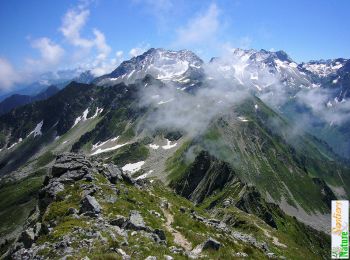
• La traversée des Grands Moulins depuis Val Pelouse offre au randonneur un parcours magnifique dans le Nord du Massif ...
Marche
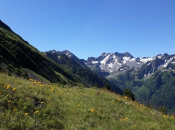
• Boucle au pied des Grands Moulins par la Crête du Gargoton. Cet itinéraire démarre pour le Col de la Perrière qui dom...

Marche
Marche
• 3eme boucle

Marche
• 2eme boucle
Marche
Marche
• les grands Moulins en boucle par l'arrête a la montée et descente par le gr. magnifique par contre attention la.monte...

Marche
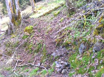
• départ valpelouse suivre sentier jusqu'au refuge perriere puis poursuivre vers col de freche. retour même chemin.
Marche
Marche
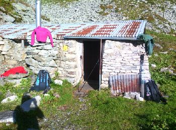
• Itinéraire des crêtes de Val Pelouse au refuge des Férices
Marche
• itinérance 2 jours en Belledonne refuge des Férices 18 19 août 2021
Marche
• Miirtille
Marche
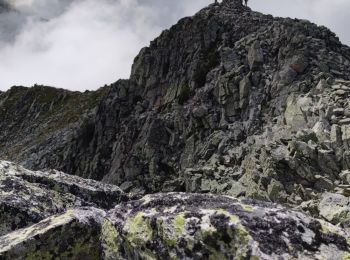
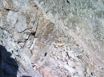
• Itinéraire parcouru en Juin 2018 Il faut parfois mettre les mains pour la crête des Grands Moulins, itinéraire balisé...
Marche
• Itinéraire parcouru en Juin 2018 Il faut parfois mettre les mains pour la crête des Grands Moulins, itinéraire balisé...
Marche
• Difficile crampons
Marche
• Brèche du Frène depuis le refuge des Férices
Marche
•
Marche
Marche
Marche
20 randonnées affichées sur 34
Application GPS de randonnée GRATUITE
 SityTrail
IGN / Instituts géographiques
SityTrail World
Le monde est à vous