


22 km | 37 km-effort
Cohennoz : découvrez les meilleures randonnées : 6 marche. Tous ces circuits, parcours, itinéraires et activités en plein air sont disponibles dans nos applications SityTrail pour smartphones et tablettes.
Marche


• Tour du Beaufortain en 7 jours Etape 7 sur 7 : Gite Tete de Mule vers Gite Molliessoulaz Durée : 6h45 On quitte quel...
Marche

Marche
• Boucle de la Pêche
Marche
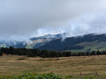
• Cohennoz
Marche
• La Palette
Marche
• Départ le Cernix.
6 randonnées affichées sur 6
Application GPS de randonnée GRATUITE
 SityTrail
IGN / Instituts géographiques
SityTrail World
Le monde est à vous