


10,1 km | 17,6 km-effort
La Thuile : découvrez les meilleures randonnées : 21 a pied, 56 marche, 2 course à pied et 1 trail. Tous ces circuits, parcours, itinéraires et activités en plein air sont disponibles dans nos applications SityTrail pour smartphones et tablettes.
Marche


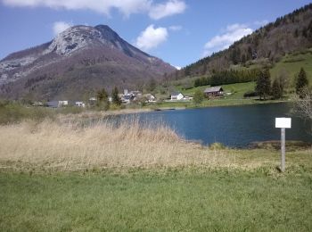
• du lac de la Thuile, quelques câbles vers le Tapin ouest. Ne pas être sujet au vertige et avoir le pied sûr.
Marche
• Balade agréable sous bois, prairie, chemin de crête.
Marche
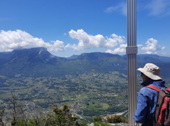
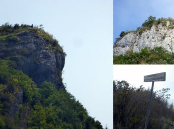
• Crêtes au-dessus de Chignin et Montmélian en traversée jusqu'au Lac de la Thuile. Au départ de Montoux, une montée so...
Marche
Trail
• maginfique: sous bois et points de vue. par contre on arrête de courir à proximité du pas de Tapin et le long des crê...
Marche
Marche
Marche
Marche
Marche
Marche
Marche
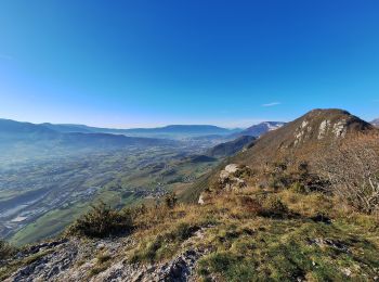
• Au départ du lac de la Thuile, le circuit dit la Savoyarde parcourt les crêtes de l'éperon méridional du massif des B...

Marche
Marche

Marche
• Monter par la piste forestière en direction du Col du Lindar (1181m) Continuer sur la piste en direction des Chalet d...

A pied
• A partir de la Thuile ( parking) le log du lac montée vers le col du Mont , puis le Rocher de Manettaz , la Roche du...
Marche
• Par le lac de la Thuile
Marche
• Sortie CAF Meythet du 15 septembre 2015
Marche
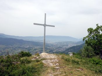
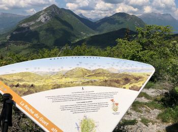
• roche du guet
Marche
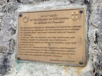
• Boucle avec partie aériennes et superbes panoramas du rocher de Tormery (passage avec échelles dans la falaise)au roc...
20 randonnées affichées sur 80
Application GPS de randonnée GRATUITE
 SityTrail
IGN / Instituts géographiques
SityTrail World
Le monde est à vous