


12,9 km | 17,5 km-effort
Bromont-Lamothe : découvrez les meilleures randonnées : 3 a pied, 11 marche et 1 marche nordique. Tous ces circuits, parcours, itinéraires et activités en plein air sont disponibles dans nos applications SityTrail pour smartphones et tablettes.
Marche


• Cette randonnée gagne les flancs du puy volcanique de Moufle et glisse dans les pâtures à moutons vers le ruisseau de...
Marche
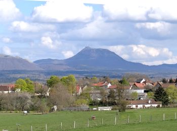
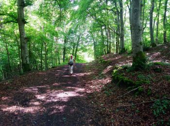
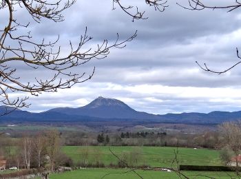
• Très jolie balade à travers bois et campagnes. Le point de vue depuis le Puy de Moufle est de toute beauté.
Marche
• Très jolie balade à travers bois et campagnes. Le point de vue depuis le Puy de Moufle est de toute beauté.
Marche
• Boucle
Marche
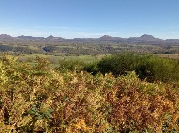
• Du cœur de la petite chaîne des Puys, vous verrez le Sancy et le Monts Dôme. Vous pourrez rêver au bord de l'étang de...

A pied
• Randonnée créée par CD63.
Marche
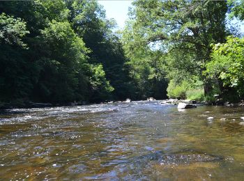
• Le piège qui consiste à tomber dans un cul de sac (La Sioule en crue) et à chercher comment en sortir ...
Marche
A pied
• départ sortie Bromont Lamothe D72 et 572 aprés Peyrouse
A pied
• départ Bromont lamothe

Marche
Marche
Marche
Marche
Marche
15 randonnées affichées sur 14
Application GPS de randonnée GRATUITE
 SityTrail
IGN / Instituts géographiques
SityTrail World
Le monde est à vous