


9,4 km | 11,8 km-effort
Saint-Bonnet-près-Orcival : découvrez les meilleures randonnées : 2 a pied, 9 marche et 1 marche nordique. Tous ces circuits, parcours, itinéraires et activités en plein air sont disponibles dans nos applications SityTrail pour smartphones et tablettes.
Marche


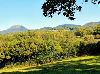
• La randonnée se fait à entre les volcans de la chaîne des Puys et ceux des monts Dore. Vous traverserez la Sioule, ri...
Marche
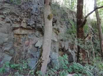
• Très agréable de marcher dans ce paysage de verdure surtout au printemps.
Marche
• Très agréable de marcher dans ce paysage de verdure surtout au printemps.
Marche
• Le circuit emprunte de larges chemins tous très praticables par temps humide. Pas de boue aux chaussures!... A noter,...

A pied
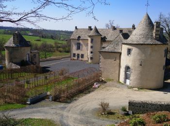
• Randonnée créée par CD63.
Marche
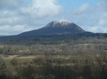
• Parcours repris dans le guide Chamina "Chaîne des Puys". Quelques beaux points de vue sur la chaîne des Dômes.
A pied
• Départ Villejacques sur la D216 direction Orcival Circuit "les rives de la Sioule" de Balirando raccourci
Marche

Marche
• Chamina chaîne des puys : 27
Marche
Marche
Marche
12 randonnées affichées sur 11
Application GPS de randonnée GRATUITE
 SityTrail
IGN / Instituts géographiques
SityTrail World
Le monde est à vous