


17,3 km | 25 km-effort
Le Claux : découvrez les meilleures randonnées : 4 a pied, 51 marche, 1 marche nordique et 1 trail. Tous ces circuits, parcours, itinéraires et activités en plein air sont disponibles dans nos applications SityTrail pour smartphones et tablettes.
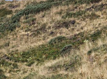
A pied


• Randonnée créée par Grand Site du Puy Mary. Symbole: Vert
A pied
A pied
• Randonnée créée par Grand Site du Puy Mary. Symbole: Vert
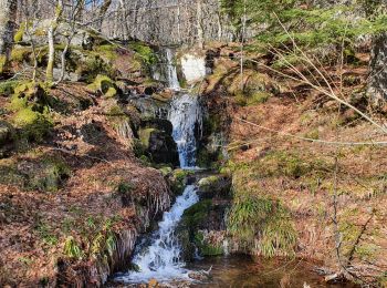
Marche
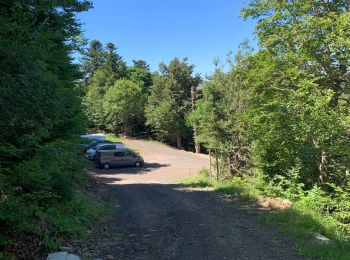
• Départ du parking au niveau du gîte d'Eylac. En tout début de randonnée, on peut apercevoir les marmottes en contreb...
Marche
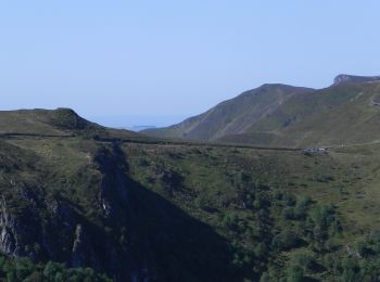
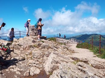
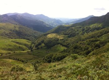
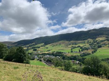
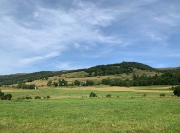
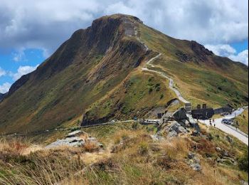
• superbes paysages et le Puy Mary
Marche
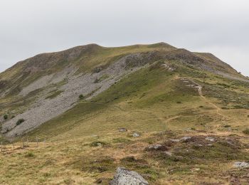
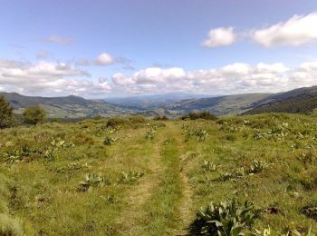
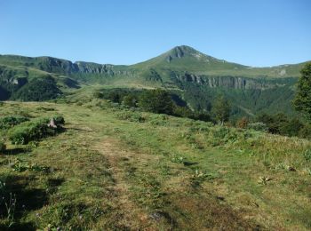
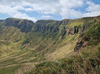
• depart depuis le bas du puy Mary, parcours qui permet d'être toujours sur les sommets. Après la montée fréquentée du ...
Marche
• Belle randonnée au départ du Col de Serre, au pied du puy Mary. Elle contourne la Brèche de Rolland, nous passons une...
Marche
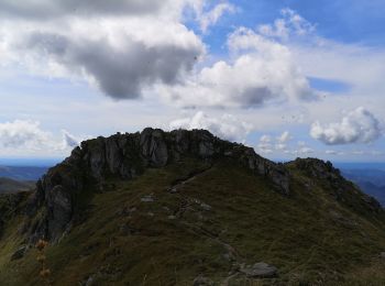
• Itinéraire dans l’un des secteurs les plus fréquentés du Cantal. Départ au Col de Serre en direction du célèbre Puy M...
Marche
Marche
Marche
Marche
Marche
Marche
Marche
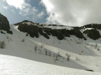
• Jolie randonnée dans la neige
Marche
•

Marche
•
Marche

Marche
• GR400 Le Claux Le Falgoux
Marche
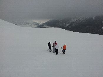
• 2021 06 20 8h25 à 16h45 Temps calme au départ du gîte puis orage, grêle, rafales de vent, sur le Puy Mary. Crête impr...
20 randonnées affichées sur 57
Application GPS de randonnée GRATUITE
 SityTrail
IGN / Instituts géographiques
SityTrail World
Le monde est à vous