


10,6 km | 15,6 km-effort
Saint-Paul-de-Salers : découvrez les meilleures randonnées : 13 marche. Tous ces circuits, parcours, itinéraires et activités en plein air sont disponibles dans nos applications SityTrail pour smartphones et tablettes.

Marche


•
Marche
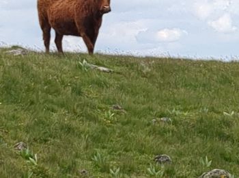
• super a faire
Marche
Marche
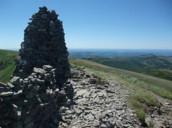
• L'itinéraire est à faire par temps sec, sans brouillard. C'est à mon avis un des plus beaux panoramas du Cantal que l...
Marche
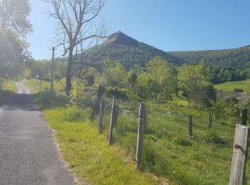
• boucle par la vallée de l'impramiau et retour par le puy violent
Marche
• 2/12/12
Marche
Marche
Marche
Marche
Marche
Marche
Marche
13 randonnées affichées sur 13
Application GPS de randonnée GRATUITE
 SityTrail
IGN / Instituts géographiques
SityTrail World
Le monde est à vous