


20 km | 27 km-effort
Aurillac : découvrez les meilleures randonnées : 30 marche, 1 marche nordique, 4 course à pied et 1 trail. Tous ces circuits, parcours, itinéraires et activités en plein air sont disponibles dans nos applications SityTrail pour smartphones et tablettes.

Marche


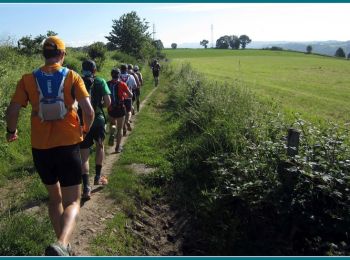
Course à pied
• Une découverte du marathon nature. Une longue ascension jusqu’au col de Berganty, lieu charnière entre deux vallées c...
Course à pied
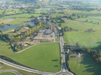
• Un circuit rapide et facile au départ d’Aurillac avec une portion de route d'environ 3km. S'ensuit une partie en sous...

Marche
• Un circuit rapide et facile au départ d’Aurillac avec une portion de route d'environ 3km. S'ensuit une partie en sous...
Marche
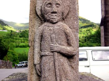
• Etape 13 de la via Arverna, chemin de Saint Jacques de Compostelle entre Clermont-Ferrand et Cahors. Etape permettant...
Marche
• une boucle au départ d'aurillac via la route des crêtes et retour par la route du Croizet

Course à pied
• Préparration de l'ultra du Puy Mary
Marche
• Promenade facile sur le plateau de Done entre St. Jean de Done et Naucelles
Marche
Marche
Marche
Marche
Marche
Marche
Marche
Marche
Marche
Marche
Marche
Marche
20 randonnées affichées sur 36
Application GPS de randonnée GRATUITE
 SityTrail
IGN / Instituts géographiques
SityTrail World
Le monde est à vous