


26 km | 36 km-effort
Arvière-en-Valromey : découvrez les meilleures randonnées : 1 a pied et 55 marche. Tous ces circuits, parcours, itinéraires et activités en plein air sont disponibles dans nos applications SityTrail pour smartphones et tablettes.
Marche


• BOUCLE... live 20230506 06:35 en déplacement.
Marche
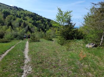
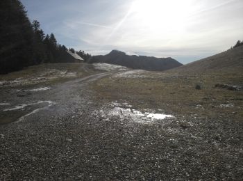
• Départ du parking de la Combe du cimetière remontez vers la crête de Sur Lyand pour cheminer tout le long de cell...
Marche
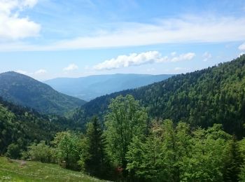
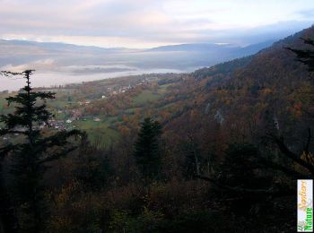
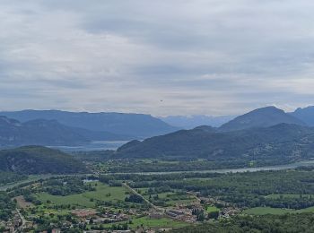
• La fin du Jura - Le Grand Colombier - Une belle descente - Le Rhône
Marche
Marche
Marche
Marche
• partir du col de la biche
Marche
Marche
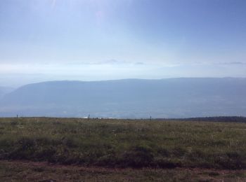
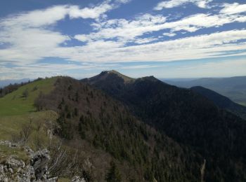
• Itinéraire de montagne. En début de saison, la traversée des arêtes du Grand Colombier est une randonnée toujours agr...
Marche
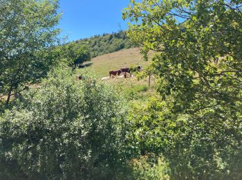
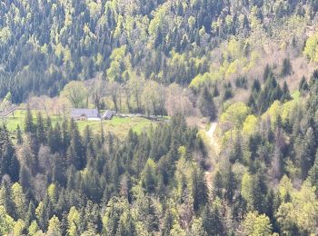
• Au départ de Munet, hameau de Virieu-le-Petit, la découverte du massif du Grand Colombier a motivé un nouveau parcour...
Marche
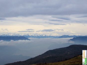
• C'est une magnifique randonnée qui passe par un long parcours de crêtes faciles pour offrir un panorama saisissant su...

Marche
• Marche
Marche
• Marche
Marche
Marche
• Marche
Marche
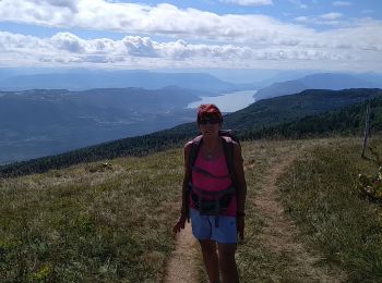
• Randonnée sur en première partie sur l’arête du massif avec une belle vue à 360°(par beau temps). Un passage un peu d...
Marche
• Départ de l’Arvière en passant par la GTJ
Marche
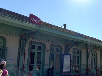
• Arvieres Culoz
Marche
• Facile
Marche
20 randonnées affichées sur 56
Application GPS de randonnée GRATUITE
 SityTrail
IGN / Instituts géographiques
SityTrail World
Le monde est à vous