


14,5 km | 20 km-effort
Aranc : découvrez les meilleures randonnées : 6 marche. Tous ces circuits, parcours, itinéraires et activités en plein air sont disponibles dans nos applications SityTrail pour smartphones et tablettes.
Marche


• Départ d'Aranc

Marche
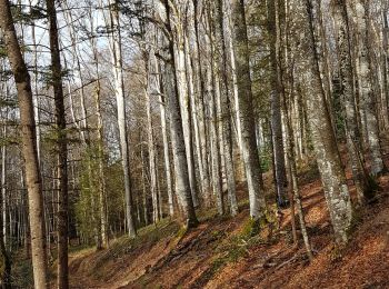
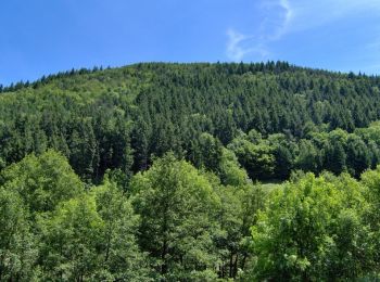
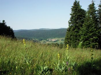
• Espace VTT - FFC du Bugey no 38 Circuit labellisé par la Fédération Française de Cyclisme. Le relief de moyenne monta...
Marche
• Espace VTT - FFC du Bugey no 38 Circuit labellisé par la Fédération Française de Cyclisme. Le relief de moyenne monta...
Marche
• Espace VTT - FFC du Bugey no 38 Circuit labellisé par la Fédération Française de Cyclisme. Le relief de moyenne monta...
Marche
• Espace VTT - FFC du Bugey no 38 Circuit labellisé par la Fédération Française de Cyclisme. Le relief de moyenne monta...
Marche
6 randonnées affichées sur 6
Application GPS de randonnée GRATUITE
 SityTrail
IGN / Instituts géographiques
SityTrail World
Le monde est à vous